In brief: Invest 91L in the Bay of Campeche may develop into a depression, but it probably won’t get much farther than that. Invest 95E in the Pacific is likely to become the next tropical storm or hurricane there tracking up and off the coast of Mexico. Both will bring heavy rain to either coast of Mexico. Plus, we have the latest on the loss of microwave satellite imagery.
Invest 91L
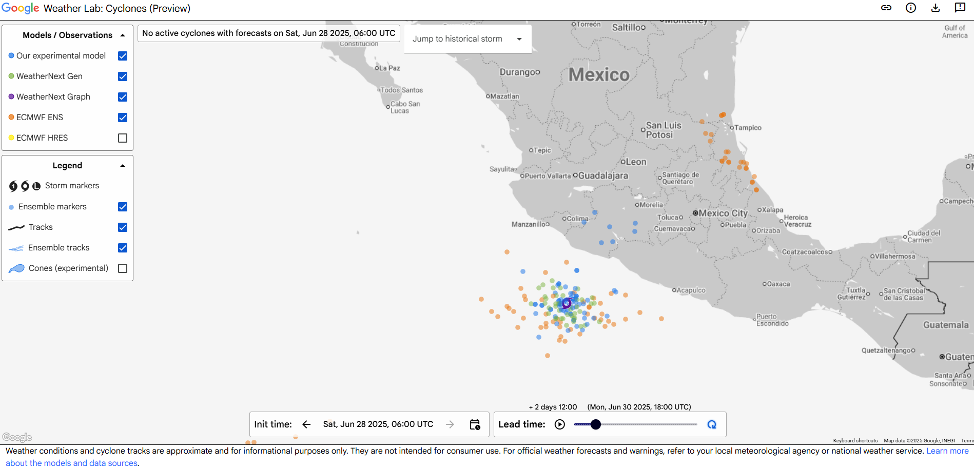
We have our second “invest” of the season. Just to refresh people’s memories, “invests” are just when meteorologists at the National Hurricane Center tag areas of investigation. It’s mostly meant so we can start running some tropical models on a particular area. It doesn’t mean a storm will or won’t develop. It’s just a nice way to classify these things in the pre-storm phase.
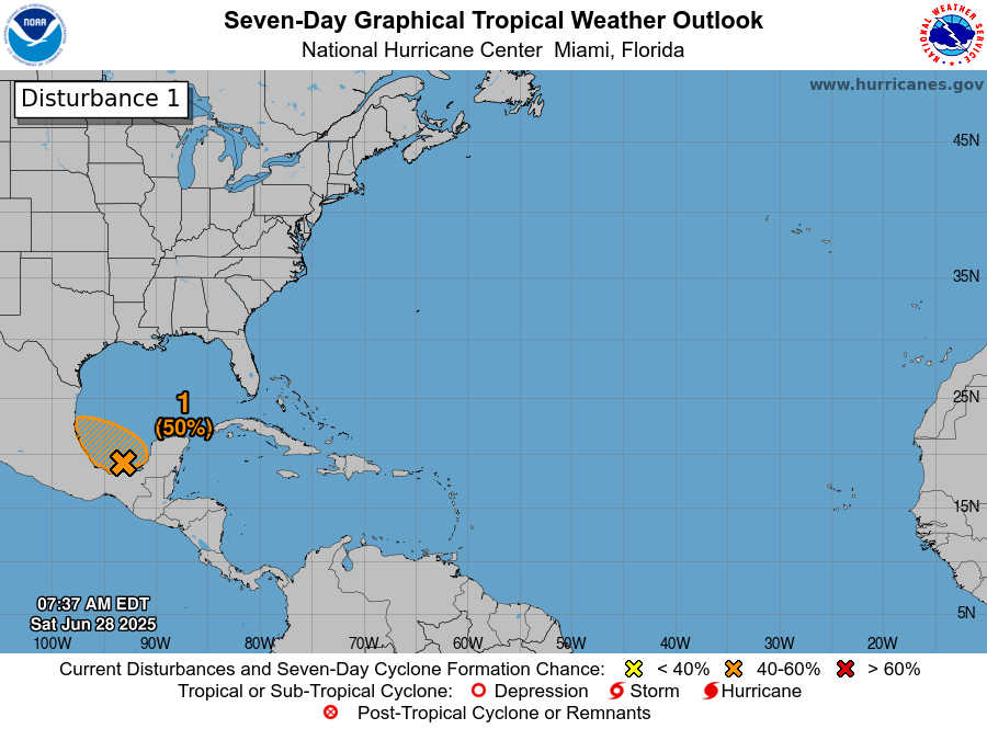
Anyway, Invest 91L got tagged late yesterday, and today it’s emerging as expected into the Bay of Campeche.
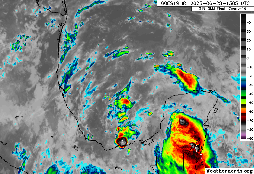
Truthfully, it looked better yesterday, but after traversing the Yucatan, it should not be too surprising to see it struggling a bit. It’s also not as if wind shear is zero here either. There’s a fair bit of it still, which could limit its chances of becoming a depression or named storm. This is a case where the impacts are a lot clearer than the technical definition of the thing.
Indeed, those impacts will include some rough seas in the western Gulf, as well as heavy rainfall. Deep tropical moisture is going to get yanked north and west as 91L moves inland over Mexico tomorrow night and Monday.
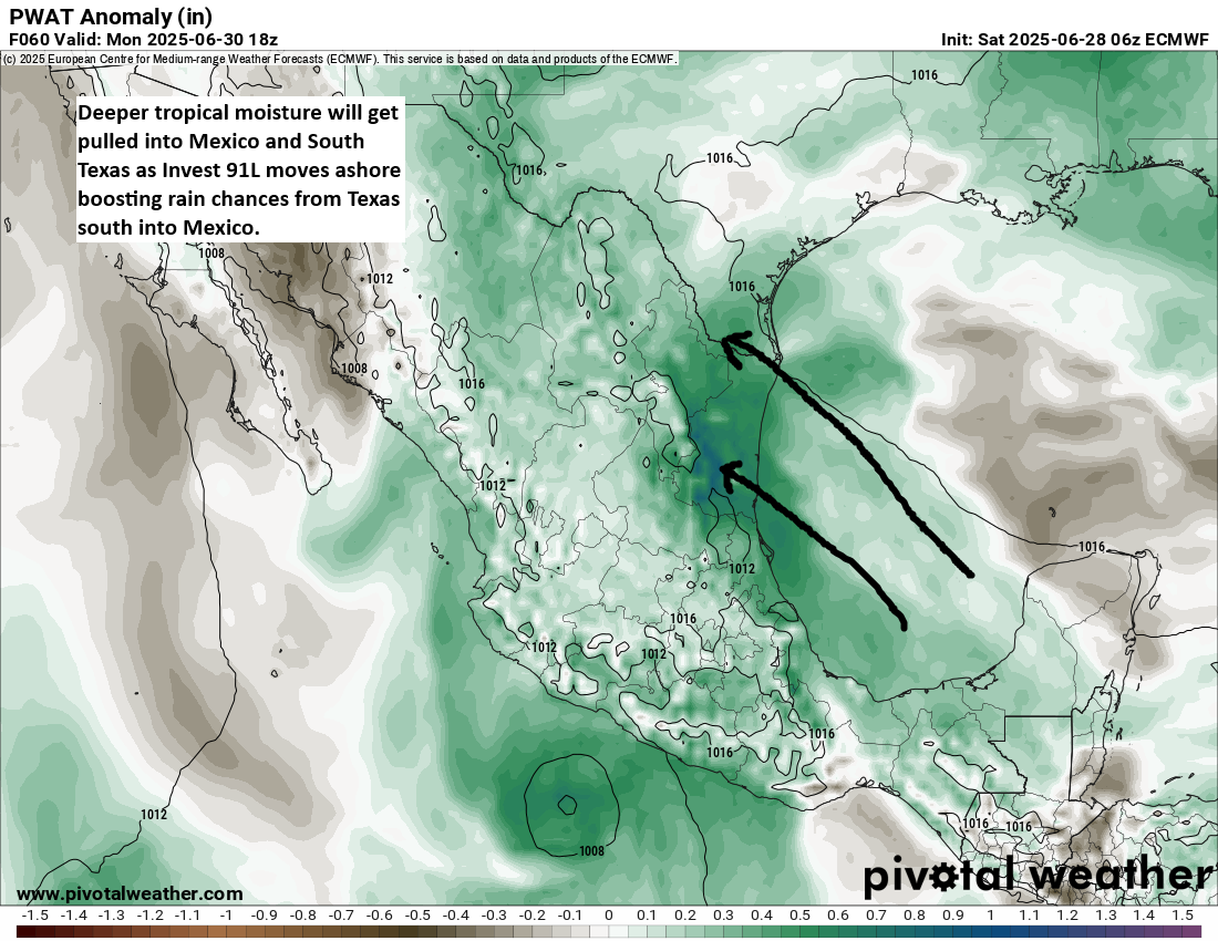
Rainfall is forecast to add up to 4 to 8 inches (100-200 mm) in parts of Mexico, with lower amounts in Texas over the next 5 days. That said, even up in Texas, there will almost certainly be locally heavier rainfall totals that show up, especially from Matagorda Bay south through Corpus and Brownsville.
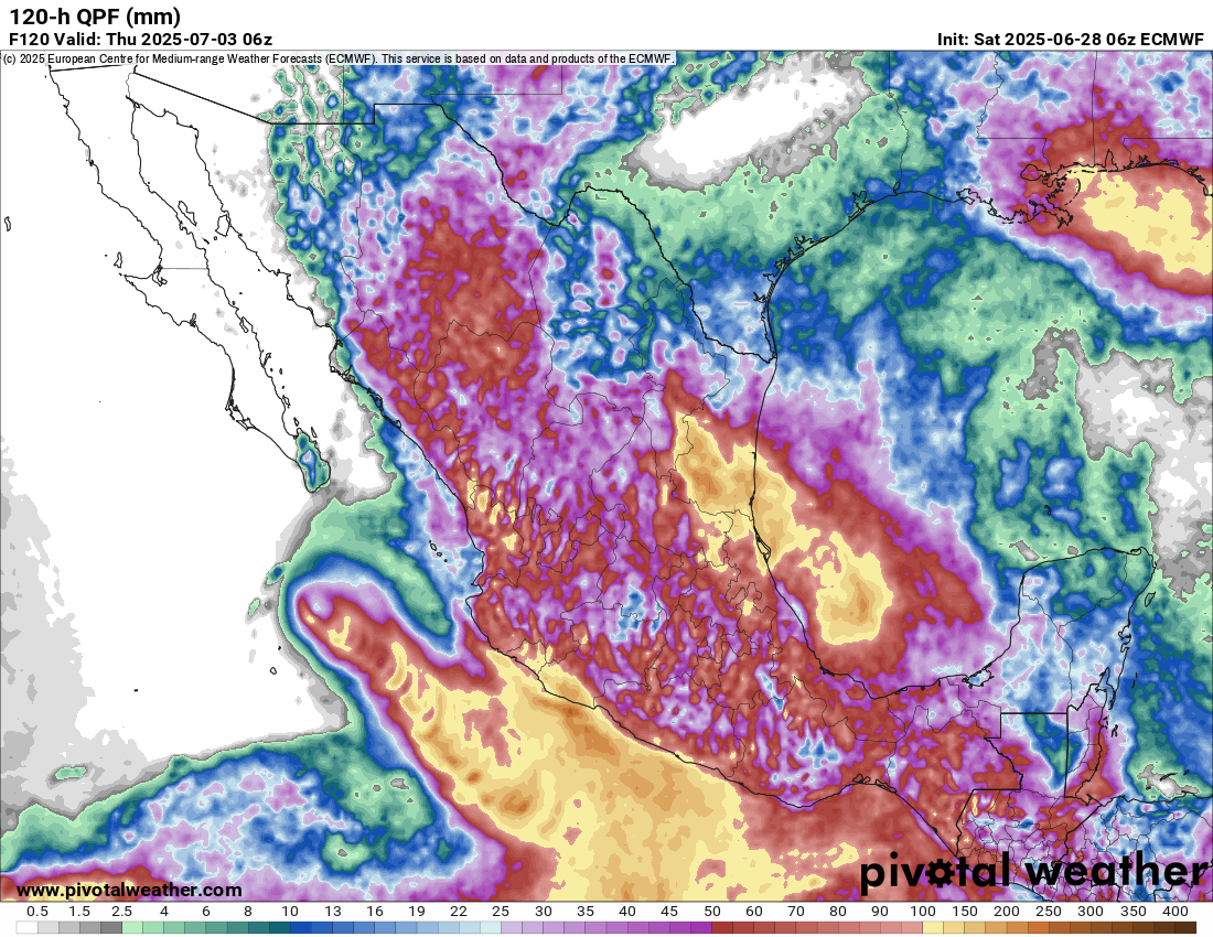
So the main concern from Invest 91L will clearly be heavy rain and flooding potential, particularly in Mexico. High pressure should build in later this week behind 91L to dry things out a bit.
Invest 95E a west coast of Mexico concern
Meanwhile, in the Pacific, we have Invest 95E, which will be a rather interesting system for Mexico’s west coast. It should take a track up along the coast but offshore. However, this will likely expose much of the coast from Zihuatanejo north to Baja to tropical impacts as the system develops. And some modeling is actually rather robust with the intensity forecast of 95E.
It should be far enough offshore to keep the worst impacts out at sea, but there are certainly a handful of model solutions that bring this close enough to the coast to produce consequential impacts. You can see from the rainfall map above under the section about Invest 91L that even the west coast of Mexico will see substantial rain over the next 5 days as a result. By the time this does reach Baja and Cabo, it should be weakening under the influence of much colder water. So hurricane impacts are not expected that far north, but locally heavy rain will be a concern. Some of that remnant moisture could get pulled into the Desert Southwest by about next weekend and help enhance monsoon thunderstorms a bit.
Elsewhere
Nothing new to report today elsewhere, including next weekend’s potential in the northeast Gulf or southwest Atlantic, which looks no scarier or likelier today.
Regarding yesterday’s post about the cuts to microwave satellite imagery, which sparked some spirited comments, please keep in mind that nothing about the post was politically motivated or biased. The actual fact of the matter is that we are living in a new reality that did not exist a year ago in the weather community (wide NWS cuts, wide reduction in weather balloon launches, budget requests to eliminate departments that serve the broader weather community, and more), and it’s incumbent on us to make sure people are aware of what is happening based on the facts, which we laid out yesterday.
Michael Lowry has an update in his post.
Please also read Alan Gerard’s post on Balanced Weather for another smart take on things.
Thank you for stating the facts on this issue. It’s difficult to be sure of the reliability of sources in these days, as the word ‘truth’ is being redefined.
y’all are great and i always use your forecast with my own local forecast in austin in order to have an idea what is reallly going on weather-wise. i also get alan gerard’s post. thanks for supplying people with as much information as possible in these trying times. i truly appreciate all of you.
Matt thanks for the forecast and the satellite info update. You and Eric do a great service for all who read it even if some folks jump to conclusions about intent which is just silly when reading a blog post about weather. Glad you guys are here and I can’t imagine living in Houston without the benefit of SCW and TE to keep me informed.
My thoughts on weather support cutbacks in satellite support, weather radio, staff and so forth.
Were you to put together a list of issues/items that need attention such as restoring the Hitchcock radio and microwave satellite imagery I will craft a letter to Webber, Cruz and Cornyn to “jab” them a little. They love “fan” mail.
“Chip”
Love your posts; great for weather status and for learning more about meteorology. A small request: how about a brief explainer on how “Invests” are numbered worldwide? Thanks.
Dang! And I’m going to Cabo next Saturday.