In brief: No development is expected from the Gulf tropical disturbance, and while heavy rain is possible on the Gulf Coast, no serious flooding is expected either. There is a fairly healthy chance of at least some flash flooding today from New Mexico through Kansas and into the Chicago metro.
Gulf tropical update, participation award edition
The Gulf tropical disturbance is maintaining about a 10% chance of development, and based on satellite this morning, even that may be somewhat generous.
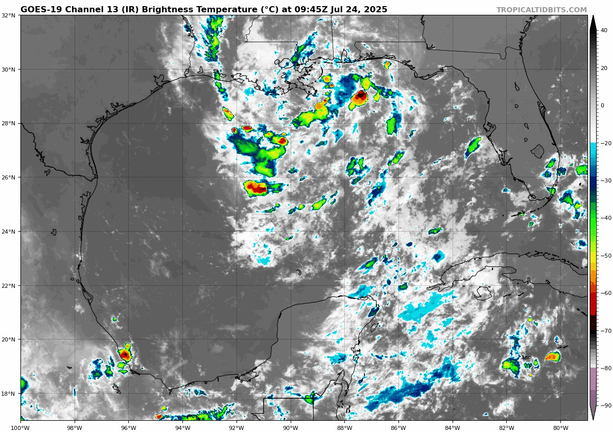
So, I don’t think this will be what gets us a tropical depression and/or Dexter. However, this will still bring some locally heavy rainfall to the Gulf Coast from Florida to Texas. At this point, the rain looks manageable in most places, and there are currently no Flood Watches posted. Still, we could see 1 to 3 inches of rain on the Gulf Coast from this.
This should probably be a mostly positive outcome for the coast, with the exception of perhaps a few places in Louisiana that have seen enough rain for a bit.
Flooding risk in the Midwest and Southwest
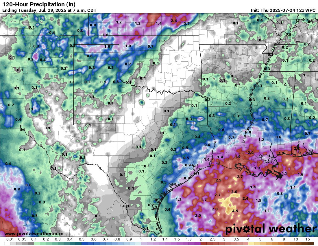
A place where there are flood watches? Eastern Kansas and Northern Missouri.
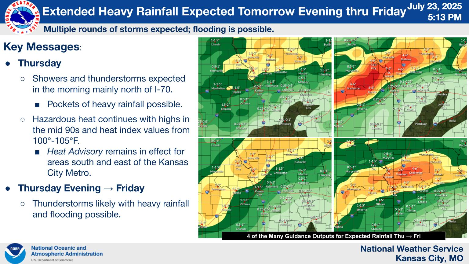
Thunderstorms tonight into tomorrow could produce some impressive rain totals. You can see from yesterday evening how there was a good bit of spread in potential rainfall there near and north/west of Kansas City. That spread continues today, with pockets of the HRRR model suggesting north of 5 inches of rain south of Topeka and the HREF model showing potential of 3 to 5 inches in those spots.
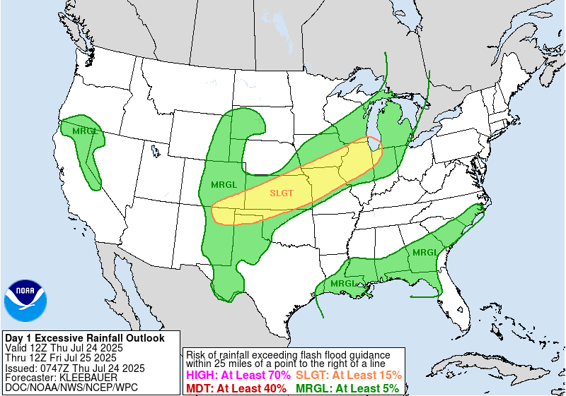
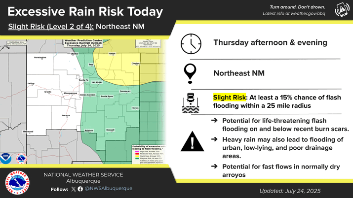
A slight risk (2/4) of excessive rain and flooding is in place for the Kansas City area and most of Kansas today. Another area with a flood watch is northeast New Mexico, where some flash flooding is possible near burn scars and in typically flood prone places like cities and arroyos.
The flooding risk will not move a whole heck of a lot tomorrow, mainly focused on Kansas, Missouri, Iowa, and Illinois.