In brief: Why is the tropical Atlantic hitting the historical peak of activity with not a wave to be found? We explain the details below, but it looks quiet for the next 7 to 10 days. Beyond that, risks will surely increase a little but how much so remains a topic of uncertainty.
Happy Tuesday evening everyone. Late today due to participation in the National Weather Association’s 50th anniversary meeting in Huntsville, Alabama, a fine city. But I wanted to catch you up on the historical peak of hurricane season.
Tropics outlook
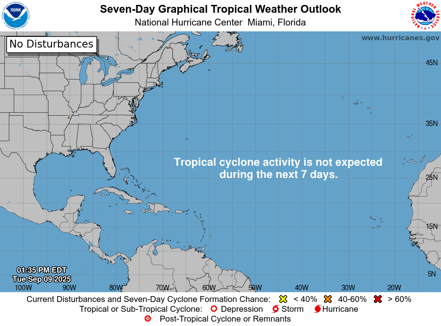
The outlook is the “not stonks” meme for those of you familiar with internet culture.

I mean, truly, it’s just quiet as could be. Now, it does appear we may get a wave in about 7 days in the open Atlantic that could develop. But that’s the only game in town for the next 10 days it would appear.

An upper low in the central Atlantic, known as a “TUTT” is imparting shear on basically anything that comes off Africa, so they instantly hit a hostile environment. Additionally, there is a lot of drier air in the open Atlantic, which is not helping anything. TUTT lows drag down drier air from the subtropics into the tropics. A lack of instability, drier air, and shear are all decimating any chance at development right now. Climatology is as good a guide as anything when you look at seasonal predictability and timeframes for activity, but if the key ingredients aren’t there, they aren’t there. The cookbook recipe may say that the cake needs flour, butter, and eggs. But if you leave the flour and butter out, you aren’t baking a cake using that recipe.
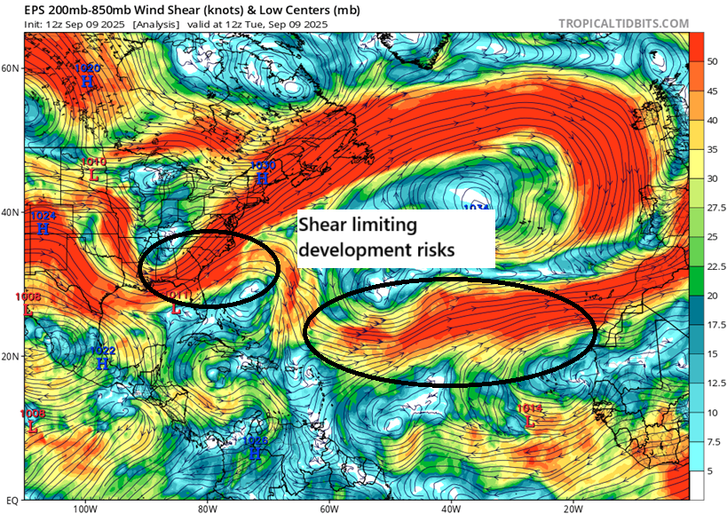
In addition to this, in the western Atlantic there is high wind shear as well. So we have a number of highly problematic factors right now as it relates to tropical development. Good for almost everyone!
Now, after 10 days the forecast in the Atlantic seems to favor a slightly more favorable shift for tropical activity. At least we should see more instability out there. That being said, I have seen a couple instances this hurricane season where tropical Atlantic conditions were expected to become more favorable “in 10 to 14 days,” and those conditions ultimately never materialize. That could be true here too. But given our streak of good luck, one figures it can only last so long. At the least, we will probably start to see GFS operational model runs showing tropical development in the Caribbean or Gulf soon. Please remember that this model has a very well-known bias to overdo that activity in most cases, particularly beginning in later September and October, as well as in May and June.
Bottom line: Enjoy the respite from peak season activity. But we still have about half the season’s activity in front of us historically. We’ll keep you posted.