In brief: Well, here we are. The start of the six-month Atlantic hurricane season. We are cross-posting Eric’s post from Space City Weather (with some minor broad edits for this audience from Matt) yesterday that attempts to give you the information you need about what to expect and how to prepare, without raising your anxiety too much. A little preparation now will go a long way if the worst happens.
Hurricane season forecast
We do not put a whole lot of stock in seasonal hurricane forecasting. It can provide a general sense of what is likely to happen, but there is no precision in the details that matter. For example, what we really want to know is whether there will be a lot of active storms in the Gulf of Mexico, Caribbean, or off the East Coast, not the central Atlantic Ocean. And since we remain a couple of months away from the ‘peak’ of hurricane season we just cannot know these details.
With that said, the general consensus from hurricane season forecasts is that we should see activity levels below normal this year across the Atlantic basin. For example, the average number of named storms is about 14 per season, and this year the most likely range of named storms is between 8 and 14, according to NOAA. The average number of hurricanes is 7, and the expected range is 3 to 6. So this is good news, because fewer storms overall mean fewer “shots on goal” when it comes to striking the coast.
The reason for all of this is that El Niño is has developed, and it will likely continue to strengthen during the key August and September months. This should help to suppress Atlantic storm activity by increasing wind shear. There are other reasons as well, but the takeaway message here is that instead of seeing a blockbuster season, we are likely to see a quieter one. But a quieter season for the entire Atlantic does not mean a quiet season for Texas or Long Island or Florida if one or two storms threaten the coast. So as ever, we will remain vigilant here at The Eyewall.
What you should do to prepare
The most important piece of advice we can give you is to have a plan for what to do if a storm threatens. If you have a plan, then you’ll sleep better and night, and be prepared to put it into action. And this is important, because when a hurricane legitimately does threaten the Houston region, people lose their minds. You don’t want to lose your mind. We have a page on The Eyewall’s website that links to dozens of local preparedness pages on the coast. Use these pages to help build your kit, develop your plan, and determine your evacuation protocols.
And that is critical. The key question you need to decide is under what circumstances you will evacuate. An important factor in all of this is how close you live to the coast. For example, in Houston, the Houston-Galveston Area Council has some excellent resources to help you prepare at this website. Among them is a “zip-zone” map that helps homeowners identify their vulnerability to different levels of storm surge. This is also how evacuations will be called, by zip codes.
Most other local jurisdictions (many linked above) also have maps such as this. There are other determinants for whether one should evacuate. You run from the water and hide from the wind. So, wind alone is not a consideration for most people. But those winds can frequently lead to extended power outages. If you have someone in your home with a medical condition that requires electricity for support, then you definitely will still want to consider evacuation if a hurricane threatens.
For those planning to stay during most storms, here is an example of a good disaster kit checklist. A lot of this is common sense: what supplies would you need to remain in your home for several days, without power, and without access to outside resources? Also please don’t forget about pets, whether you’re staying or evacuating. It’s also good idea to check on neighbors. One of the only silver linings of a hurricane, I have found, is that it tends to bring neighbors and neighborhoods together.
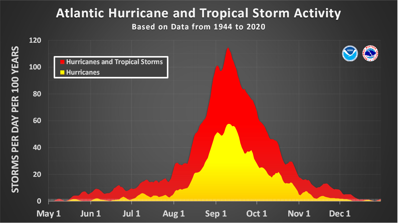
A final word. Hurricane season is a long slog, not a sprint. Because of the nature of storms, you don’t need to be at Defcon 1 from June 1 through November 30. Yes, stronger storms can occur sometimes in July, but the main time to watch is August through October. It’s very easy (and understandable!) to get worked up throughout the course of the season, but you need to pace yourself as you would a marathon.
How to find our coverage
As usual, we will have full coverage here of all storms. Really important note: For those of you in Houston, Space City Weather will remain our *primary* source for all storm info for the Texas and western Louisiana coasts. We will likely cross post to both sites during storm threats to the Houston region. You can also visit the sites and find the “subscribe” box to sign up for emails whenever we post updates.
How can we do this?
We do this because we love weather and we love ensuring people have good quality information. Seriously, over the last decade Space City Weather has become an important part of the Houston community’s fabric, and we take our responsibilities seriously. The Eyewall has been building a unique audience of its own. We’re here for the long haul and appreciate that our readers are so faithful to the sites.

And much we owe to you, the reader. To the extent we have grown, it has been through word of mouth. We have never advertised the sites. Rather, our growth has been entirely by word of mouth, with readers telling others about us, or sharing our activity on social media. We are grateful for that. Thank you!
Social media
As for social media, we do try to reach readers where they are. Here are a list of the places you can find us, and where you can find links to every update we do:

One final thing to note this year: We are trying to do more social media videos. If you follow us on IG or TikTok, you may have periodically seen our forecast videos. We try to do one or two a week at Space City Weather now more regularly to keep people informed. We don’t want to overwhelm you with content, but when something needs to be said, we’ll say it. So be sure and check us out there if you’re a video-first type person.
Thanks for reading, and we’ll have another update this week!