Louisiana coast likely to see significant impacts from Tropical Storm Francine, likely as a hurricane

Headlines

  • PTC 6 is now Tropical Storm Francine with 50 mph max winds.
  • Francine will accelerate north, then northeast over the next 48 hours, likely making landfall in central Louisiana on Wednesday as a hurricane.
  • Francine will intensify, likely peak just offshore of Louisiana, then come ashore steady or slightly past peak, still bringing hurricane impacts to central Louisiana.
  • Interests in the New Orleans metro should continue monitoring for any track shifts, while interests in Baton Rouge, Lafayette, and the rest of central Louisiana should prepare for direct impacts.
  • The Houston area is unlikely to see any serious impacts from Francine.
  • Flash flooding is likely across parts of Louisiana, perhaps into Mississippi and Tennessee, as well as in the Brownsville, TX/South Padre Island areas.
10 AM CT NHC track forecast for Francine. (NOAA NHC)

Francine now

We can retire Invest 91L and PTC 6 from the lexicon. As of 10 AM CT, Tropical Storm Francine has been declared by the National Hurricane Center (NHC).

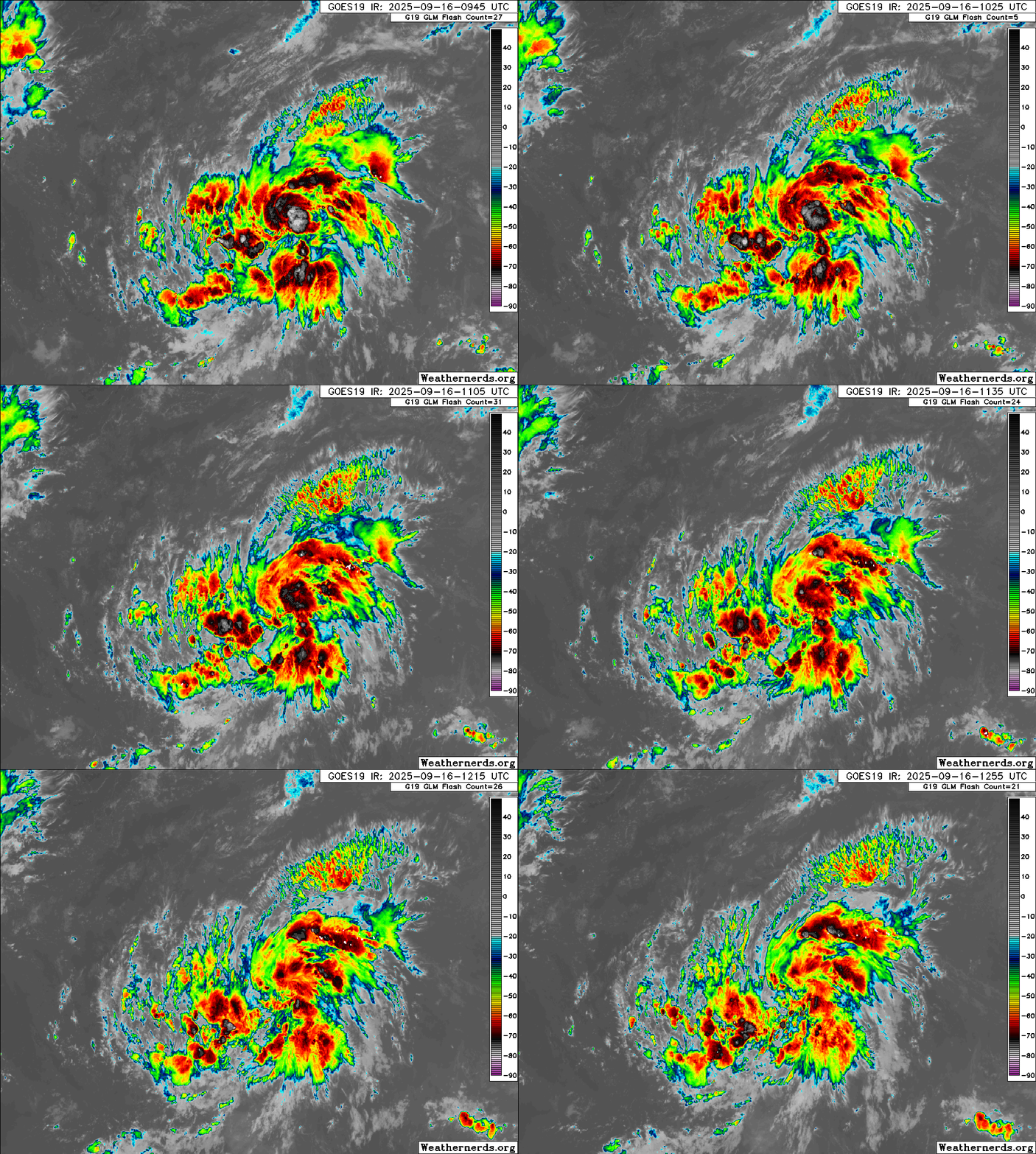
Tropical Storm Francine is already a formidable tropical storm off the coast of Mexico. (Weathernerds.org)

Francine looks the part for sure. We will have reconnaissance aircraft from NOAA and the US Air Force Hurricane Hunters in there throughout the day gathering additional data on Francine’s center and intensity.

Francine track

Tropical Storm Francine will be broadly steered by high pressure over the Florida Strait which will allow it to track north and then northeast, hence the growing confidence of a track into Louisiana.

Tropical Storm Francine will be steered north, then northeast around high pressure over Florida and Cuba. (Tropical Tidbits)

I have dealt with a lot of tropical systems over the years, and while there is nuance on the where the final landfall point will occur, this is a relatively straightforward track forecast.

For Houston folks: This is likely not a Hurricane Beryl situation where there will be a dramatic last-minute shift into our area (and if that did happen, it would be as a much weaker storm than currently forecast, which judging by satellite imagery today seems highly unlikely).

Tropical model guidance is tightly clustered on a Vermilion Bay landfall right now, but there is a fair bit of risk to the east side of that clustering, opening the door to possible further east adjustments in time. (Tropical Tidbits)

For Baton Rouge and New Orleans folks: This is one you want to watch. If for whatever reason this goes ballistic over the Gulf, it could allow the track forecast to keep shifting east, putting the metro areas in play for significant direct impacts from wind. This is especially true for Baton Rouge, but I think New Orleans should watch things closely.

Francine impacts

Let’s discuss some of those impacts. Francine will come north in an environment that is hospitable to intensification. Expect a steady, if not rapid strengthening (RI) trend with Francine over the next 36 hours. RI probabilities for various thresholds are around 5 to 7 times greater than climatology for this over the next 36 hours. This indicates that there is a good chance this storm becomes a hurricane in relatively short order. Francine will continue strengthening until about Wednesday morning. It will then encounter wind shear values of 20 to 35 kts aloft, which usually will help degrade a storm. This should lead to a peak intensity about 75-100 miles off the Gulf coast, then a steady state intensity or slow weakening on approach to landfall. While it should still come in as a hurricane, it would likely be just past peak intensity.

Winds

For Louisiana, this will likely mean widespread tropical storm to hurricane force winds between about far eastern Cameron Parish and the western fringe of New Orleans. On the current track. If the track shifts east further, this will push east as well.

An annotated map of potential tropical storm and hurricane force winds on land as currently forecast using the European model as a base. This may change before landfall. (Weather Bell)

So folks in central Louisiana should be preparing for hurricane-force wind impacts, while folks in eastern Louisiana should continue to monitor for potential track shifts that could bring them more into play for that. Winds should reach the coast sometime later tomorrow night and Wednesday morning.

Surge

Storm surge is expected to be on the order of 5 to 10 feet at peak above ground level, primarily from eastern Cameron Parish through Port Fourchon. We’re looking at about 2 to 4 feet in Lake Pontchartrain in New Orleans.

Storm surge is forecast to be as high as 5 to 10 feet in Vermilion Bay east to Port Fourchon in central and eastern Louisiana. Surge on Lake Pontchartrain should be on the order of 2 to 4 feet. (NOAA NHC)

This will likely produce some potential damage in central Louisiana and flooding in eastern Louisiana outside of levee protection. Follow local authorities for any details on evacuation orders or preparation tips for Francine.

Rainfall

The good news is that Francine will be moving rather fast, so this could functionally limit how high maximum rain totals get along the track.

Rain totals should peak along and just east of Francine’s track, perhaps as high as 8 to 12 inches in central Louisiana, including the Lafayette area. (NOAA NHC)

That said, it will still produce a lot of rain. The highest rain totals should be in central Louisiana, including both Lafayette and Baton Rouge where 6 to 12 inches of rain is possible. New Orleans should see on the order of 3 to 6 inches. While Houston is currently projected to see 1 to 2 inches, that may be a bit generous.

Notably, while it may generate only a passing mention, the Brownsville area into South Padre Island could actually see a healthy amount of rain on the order of 6 to 10 inches from this as well as Francine organizes offshore over the next 36 hours. Flood Watches are posted there and in southwest Louisiana. We could see additional flash flooding up into portions of northern Louisiana, Mississippi, and Tennessee as well as Francine lifts inland.

Tornadoes

As always, landfalling tropical systems occasionally produce isolated tornadoes, and this storm will be no exception. The risk of tornadoes will be highest between Vermilion Bay and Mississippi, possibly as far east as Mobile Bay as well.

Quick comment on Louisiana metros

As noted above, while the current forecast track will keep the highest impacts in central Louisiana, folks in New Orleans should continue to closely monitor Francine’s progress. Lafayette and Baton Rouge will see strong winds, heavy rain, flash flooding, and potential isolated tornadoes. Scattered to numerous power outages are likely there. New Orleans will see minor surge impacts, flash flooding risk, and some wind. Isolated to scattered power outages are likely, with greater impacts possible if this comes farther east.

Please ensure you’re prepared to deal with some hot weather if you lose power for a few days behind this storm. Forecast highs look to be in the mid to possibly upper 80s on Thursday and Friday after the storm passes. Thankfully, the humidity levels should be near to below average for a couple days.

Elsewhere, we have no tropical concerns as they relate to land.

Our next update will be this evening before the 10 PM NHC advisory, probably around 7:30 PM.

A tropical storm or hurricane is likely in the western Gulf of Mexico this week (UPDATED)

Next update will be after the 10 AM CT advisory on PTC 6 Monday. Changes overnight were minimal with a track toward the Louisiana coast, minimal impacts to Houston, and more significant impacts in central Louisiana. PTC 6 is expected to become a hurricane before landfall.

Headlines

  • Invest 91L is expected to develop into a tropical storm or hurricane in the western Gulf of Mexico by midweek.
  • The track forecast is generally pointed toward the extreme upper coast of Texas or Louisiana.
  • Coastal impacts are likely between Matagorda Bay and New Orleans.
  • Inland impacts will depend on exact track and intensity, but at this point we do not believe Houston is the primary target of this storm.
  • Heavy rain and flooding on the coast is a good possibility.
  • Invest 92L in the deep Atlantic is not a land concern at this time.

Invest 91L to likely become a tropical storm or more in the western Gulf

UPDATE (4:20 PM Sunday): The NHC is issuing advisories on Potential Tropical Cyclone 6. Their first map is shown below, which we telegraphed a bit in the post below from earlier.

(NOAA NHC)

We continue to watch Invest 91L, which is likely to be upgraded to a potential tropical cyclone this evening by the National Hurricane Center. This will probably mean the issuance of tropical storm watches on the Texas and Mexico coasts.

Key messages from the NHC on Invest 91L this afternoon. (NOAA NHC)

The disturbance continues to produce ample thunderstorms in the Bay of Campeche, but it remains a day or so away from actually organizing into a formal tropical entity.

Invest 91L is producing plenty of thunderstorms, but it currently lacks any real organization. (Weathernerds.org)

Look for things to start trying to get in gear later tomorrow.

Track

So where will Invest 91L go once it develops? Some of this will depend on exactly *where* Invest 91L formally organizes. The final track will ultimately be dependent on the intensity which will be somewhat dependent on where it forms, so everything is connected. In general, however, Invest 91L is going to follow the periphery of high pressure centered near Florida.

Invest 91L should basically follow a track briefly NW, then due N, then NE in the western Gulf, which will likely track it toward somewhere in Louisiana. (Tropical Tidbits)

From a forecast perspective, this setup is certainly not without nuance, but it does make the track forecast a little more simple. Initially, 91L will track northwest in the Bay of Campeche. From there, as it organizes, it will begin to turn toward the north. Eventually, it should turn northeast, which, depending on where it forms, puts it on a track likely between Galveston and central Louisiana. Again, there is nuance here in that a weaker outcome would lean left, closer to the Galveston-High Island corridor, whereas a stronger outcome would track a bit closer to Vermilion Bay in Louisiana. But for the most part, I think the track forecast is relatively well understood at a high level today.

The track density of the various forecast ensembles shows a turn to the northeast occurring off the coast of Corpus Christi, sending 91L probably toward Louisiana or the extreme upper Texas coast. Impacts will be felt at the coast in Texas, regardless. (Tomer Burg)

Trends in the last 24 hours have been toward a slightly stronger storm closer to central Louisiana. But there remains a relatively wide berth of possible outcomes. So don’t write it off in Galveston yet, but it is likely that if it hit Galveston directly, it would be a weaker storm.

Intensity

So let’s talk about intensity. Operational modeling has come around to the idea of a more well developed, stronger storm now. Earlier this morning, most tropical modeling was spread between high end tropical storm and low end tropical storm intensity. This afternoon’s runs have tended to bump this up a little, ranging from weak tropical storm to hurricane intensity. SHIPS guidance, which forecasts the odds of rapid intensification suggests about a 6 to 8 times greater than normal potential of this rapidly intensifying in the next 72 hours. Wind shear looks low, and while sea-surface temperatures are not ballistically warm in the western Gulf, they are at or above normal away from the immediate coastline and more than supportive of intensification. It appears the environment will be favorable for intensification.

Based on all this, we are likely heading for at least a moderate to strong tropical storm and a reasonable chance at a hurricane assuming this tracks as shown above toward Louisiana

Impacts

Obviously, we’re going to be concerned with tropical storm or hurricane impacts near and especially east of where this comes ashore, which I won’t try to pinpoint exactly right now, but they’re primarily on the Louisiana coast at this time. We will cover that in more detail tomorrow as more becomes known with respect to track and intensity. We should expect waves of 10 to 20 feet offshore with this as it comes north. Gusty winds will occur on the coast between Matagorda Bay and Sabine Pass in Texas, possibly up to tropical storm intensity (35 to 45 mph). Inland locations like Houston should see much less of that. And again, Louisiana will likely see stronger winds. If the storm comes in at Galveston or High Island, there will be stronger winds in the Beaumont-Port Arthur area.

One of the bigger impacts with this storm will likely be rainfall. Somewhere will likely see 10 to 15 inches of rain from this storm with widespread amounts a little under this elsewhere. For Texas, with a track more to the east, this has generally lowered rain totals there. However, that has led to higher totals in parts of Louisiana. The map below shows the European operational model’s forecast of rainfall. Normally, I don’t care to show operational model guidance rain maps, but I think this is a decent representation of risk. The highest totals will be along track and to the east, but the entire coast, even west of the landfall point should see at least some heavy rainfall.

Rain totals as shown on the European model will likely be highest to the east of the Texas/Louisiana border, possibly extending into Mississippi and Alabama. (Pivotal Weather)

I expect flash flooding to be a concern in Louisiana, which has seen a good bit of rain lately, as well as in southern Mississippi and Alabama. Coastal Texas will be dependent on exact track, but flooding risk doesn’t look overly concerning right now. Still, check in on this again to see if anything’s changed.

Storm surge will also be an issue, but we will await guidance from the National Hurricane Center on that before speculating. And as always, tropical systems can and do produce isolated tornadoes.

At this point, interests on the Texas and Louisiana coasts should continue paying close attention to the forecast updates on Invest 91L or the potential tropical cyclone. The biggest concerns right now are for Louisiana, but continued monitoring is advised in Texas too. More either tonight or tomorrow morning.

Invest 92L

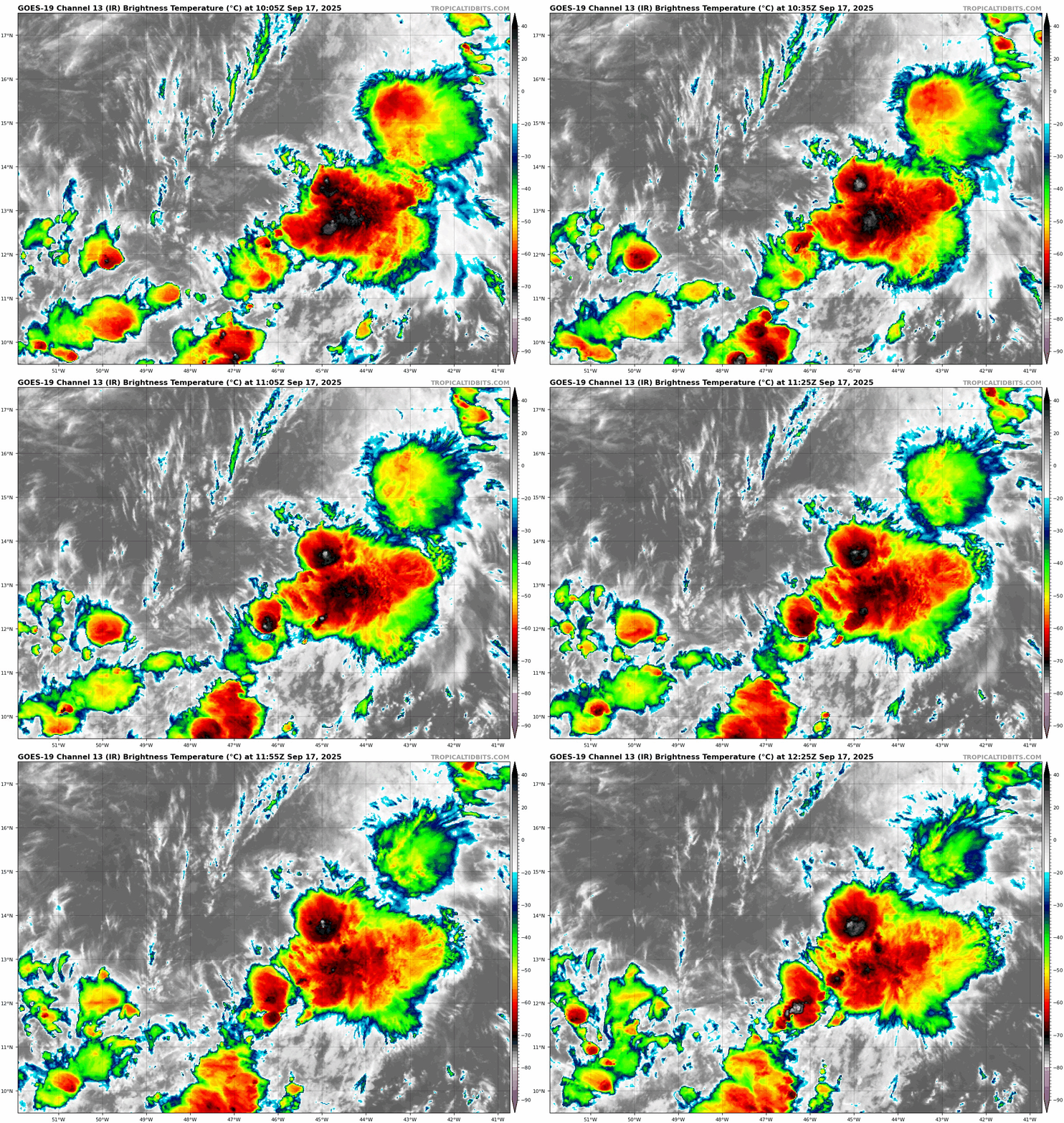
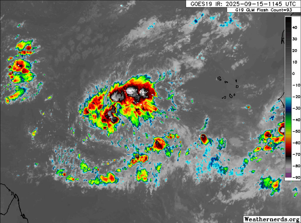
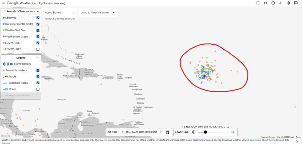
Meanwhile, way out in the middle of the Atlantic, we have Invest 92L, which has 70 percent odds of developing in the next several days.

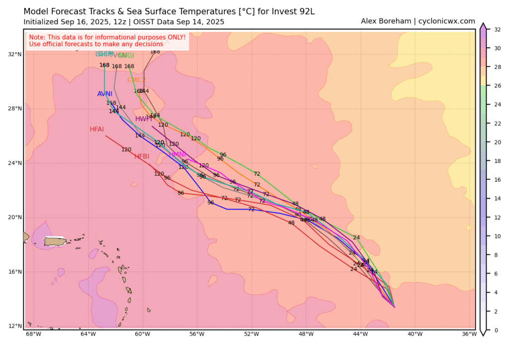
Invest 92L is going to track generally north, then west-northwest, likely staying out over the open Atlantic. (Tropical Tidbits)

This one will take a day or two to start organizing, but once it does it should track west-northwest, likely strengthening slowly before turning more northwest later this week, probably staying out at sea. For now, interests in the Caribbean islands should keep tabs on this, but it is not currently expected to deliver significant impacts there.

Beyond 92L, we have another wave likely to emerge off Africa later in the week that could develop out at sea in the eastern Atlantic. But there are no other land concerns besides Invest 91L at this time.

Odds of development in the southern Gulf and heavy coastal rainfall increasing next week

Headlines

  • Development of some sort of tropical system is becoming increasingly likely in the western Gulf next week.
  • There are two general thoughts on outcome: Either a better organized system that tracks offshore toward Louisiana or a lesser organized system that tracks offshore but closer to the Texas coast.
  • Either outcome will produce rough seas, gusty winds, and heavy coastal rainfall with flooding possible on the coast.
  • Houston & Corpus Christi proper likely don’t have to worry about significant impacts, but coastal areas between Matagorda Bay and central Louisiana should be on guard for tidal flooding and potential strong winds (mainly in Louisiana).
  • No other notable tropical concerns exist at this time.

Gulf of Mexico development odds increasing

First, a point of clarity: Invest 90L was declassified yesterday, and Invest 91L will be the designation for the tropical disturbance in the Gulf this weekend.

Starting off this afternoon, we have Invest 91L with thunderstorm activity in the southern Gulf but no real organization. We think this will take a couple days to do anything.

Invest 91L is somewhere in the southwest Gulf without a whole lot of organization. (Weathernerds.org)

At some point heading into later tomorrow, Invest 91L will probably halt its southward progress, slow down and begin to make a turn back northward later on Monday. From here, we’re beginning to see some model consensus increasing. And development odds have increased to 70 percent as of this afternoon. As 91L comes north, it will enter a tricky environment from a forecast point of view. On the one hand, you will likely have low shear and warm Gulf waters to help it along. On the other hand, there is likely to be a lot of dry air over Texas thanks to this weekend’s early fall cold front. That dry air works against tropical development. We’ve seen dry air in Texas take its toll on tropical systems before, so that’s one reason to be cautious about some of the more bullish models.

Dry air is likely to work somewhat against development and organization. It will almost certainly limit how far inland the heaviest rain can make it next week. (Tropical Tidbits)

Whatever the case, slow, gradual development is likely late Monday and Tuesday as this comes north about 100 to 200 miles off the coast of Mexico. Modeling is actually in very good agreement on all this through Tuesday morning. From that point, the models diverge. The European model, which I might argue would have a better handle on more of the nuance at play here, tends to develop this slowly. The GFS, ICON, and Euro AI (AIFS) modeling shows a slightly faster development path for 91L on Tuesday into Wednesday.

This poses an interesting forecast challenge. The upper pattern on Tuesday night/Wednesday morning will support steering currents around the periphery of high pressure off the west coast of Florida. This should allow for a north and northeast track in the Gulf. A stronger storm would probably be more apt to take that northeastward movement, where as a weaker storm may come more due north. We see this as both the ICON and AIFS show a faster, stronger storm farther out in the Gulf headed toward Louisiana, whereas the European model keeps it weaker and close to the mouth of the Rio Grande River.

Four operational model forecasts on Wednesday morning, with the AIFS & ICON showing a stronger tropical storm or even hurricane risk near Louisiana, whereas the Euro and GFS are weaker and slower (farther south) with more rain in Texas. (StormVista)

The GFS eventually caves and strengthens it, allowing the system to follow the AIFS/ICON group toward Louisiana, whereas the European model just brings it into Texas as a depression or low-end tropical storm.

Obviously, this gives us a forecast challenge, but I think we’re in two very distinct camps right now.

Camp 1: A strong tropical storm or hurricane that tracks off the Texas coast toward Louisiana arriving Wednesday-ish.
Camp 2: A depression or loosely organized tropical storm with a lot of rain that impacts Texas, especially at the coast Tuesday through Thursday, coming ashore between Galveston and Cameron, LA.

I am not a betting man, but I would probably say the odds right now are 70/30 in favor of camp 2, but that 30 percent is a weighty one given that the system could be a hurricane in that scenario. Normally, I’d discount the ICON model, but given its performance this season and the consistency it has had with track and intensity here, I think there’s merit to considering it with this particular system.

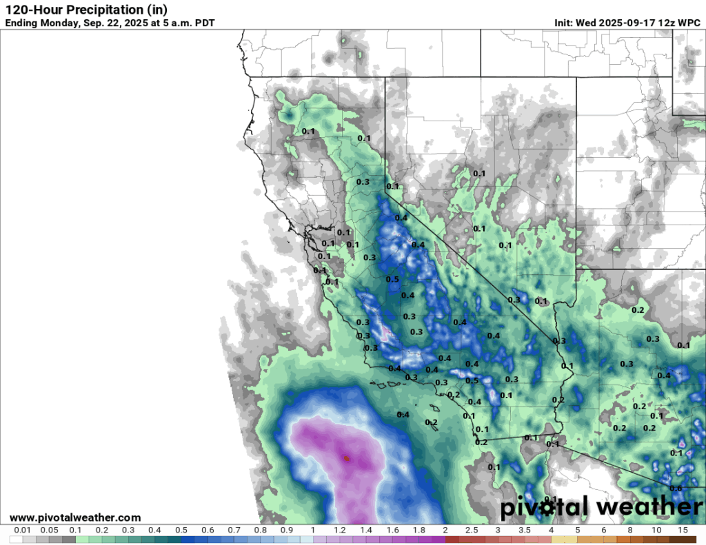
Regardless of development, heavy rainfall is likely on the coast of Texas and into much of Louisiana. The inland extent of rain in Texas will be limited, and the gradient, or difference between high and low amounts of rain could be much sharper than shown in today’s NOAA rainfall forecast. (Pivotal Weather)

So what do you do? You check back in again tomorrow for more. If you’re in Louisiana, it’s probably a good idea to make sure you have your hurricane kits up to date and know what you’ll do in the lesser chance this comes your way as a stronger storm. In Texas, I think Houston and Corpus Christi are fine. However, I think folks from Matagorda Bay through Sabine Pass along the coast and bays should probably be aware of both a rainfall flooding risk and a tidal flooding risk that may develop from this. More to come.

Elsewhere, nothing else of note in the tropics today.

The Gulf of Mexico remains the hotspot with another soaker on tap next week, with or without a named storm

Headlines

  • Invest 90L will drift south into the weekend and eventually partner up with a tropical wave moving into the Bay of Campeche.
  • Development odds are up to 40% on that as it tries to get started off the coast of Mexico.
  • There is uncertainty on whether it will develop or how close to the coast it will be if it develops.
  • We do not currently see much risk that this becomes a hurricane.
  • Regardless, interests between Mexico and Louisiana should monitor this disturbance, and we are watching the potential for another round of locally heavy rain, with or without a named tropical system.

The Gulf will not stop making noise

The main focus of activity, at least in terms of any practical, meaningful impact of late has been the Gulf of Mexico. After I posted yesterday, the low pressure system was defined as Invest 90L, our second cycle through the list of invests. I would have predicted we’d be on the third cycle through by now. (Invests are numbered 90 to 99 and then repeat, as they’re really just placeholders to run models on)

Anyway, looking at the Gulf today, you can see Invest 90L in all its glory. It’s drifting southward, while a lot of its moisture gets sheared off to the east. Basically, it’s beginning the transition into its next phase of life now.

Invest 90L is a little tough to pinpoint, but it’s technically drifting south, while a lot of the moisture and rain associated with it lifts off to the east and northeast. (Weathernerds.org)

From here, 90L should drift all the way south into the Bay of Campeche where it’s going to finally meet up with the tropical wave we’ve been discussing ad nauseum that’s exiting the Caribbean today. Whether this gets classified as Invest 91L or stays 90L, I don’t know. It’s a procedural mystery. Whatever the case, I’m going to refer to it as 90L.

Anyway, by the time we get to Sunday, this whole mass congeals in the Bay of Campeche. It probably won’t develop right away, but it will begin to stir a bit.

By Sunday, the GFS model above shows Invest 90L or whatever it is organizing in the Bay of Campeche, not far off the coast of Mexico. (Tropical Tidbits)

In general, from here we expect this thing to track northward. I think we stop at this point in terms of talking about specifics. Everything becomes kind of theoretical. If 90L forms farther offshore, it may have a better chance to organize a bit more and track more due north or north-northeast toward extreme east Texas. The stronger it gets, the farther northeast it will go, deeper into Louisiana. If 90L continues to hug the coast of Mexico, as shown on the GFS here, it would likely try to become a tropical storm and then slide inland. A weak system would probably come ashore *in* Mexico, whereas a slightly more organized depression or tropical storm would track more toward the Texas coast.

The ceiling on this is *probably* below hurricane intensity right now, if it develops. Never say never obviously, but virtually all the signals we are getting from tropical models, operational models, and ensemble guidance keeps this as a tropical storm or weaker. So from a “will we see widespread power outages and/or major hurricane damage” perspective, the answer is almost certainly not at this point.

But, I would advise folks between northern Mexico and Vermilion Bay in Louisiana to keep monitoring this through the weekend.

Gulf Coast rainfall concerns

Now, the bigger concern I have with this system is rain. Rainfall over the last 10 days or so has been prolific in portions of Texas and Louisiana.

The percent of normal precipitation over the last 2 weeks has been over 200 percent of normal across much of coastal Texas and portions of Louisiana, as well as interior Texas. (High Plains Regional Climate Center)

The Houston area has been primarily spared significant rain, but Galveston has seen over 10 inches. Louisiana has seen significant totals also. As has Corpus Christi. So there are a lot of vulnerable areas in between some areas that could handle rain fine next week. I won’t post a rainfall forecast because that outcome will depend on if a storm develops and how it tracks. There will be locally heavy rain even without a formal named storm, so no matter what, we’re looking at the potential for another 4 to 8 inches of rain or more in spots next week as this comes northward Tuesday through Thursday.

Bottom line: Check in on this again this weekend.

Elsewhere

There is one system in the deeper Atlantic that has some potential to form next week, but it almost certainly looks destined to track out to sea right now. Either way, it’s so far off and so undeveloped at this point that it’s barely worth mentioning.

Atlantic Canada will see heavy rain and gusty winds from the remains of Invest 99L in the North Atlantic this weekend. That should be fairly quick moving but reasonably noteworthy.

Beyond all that, I don’t see anything of note outside the Gulf right now. We’ll have more tomorrow!