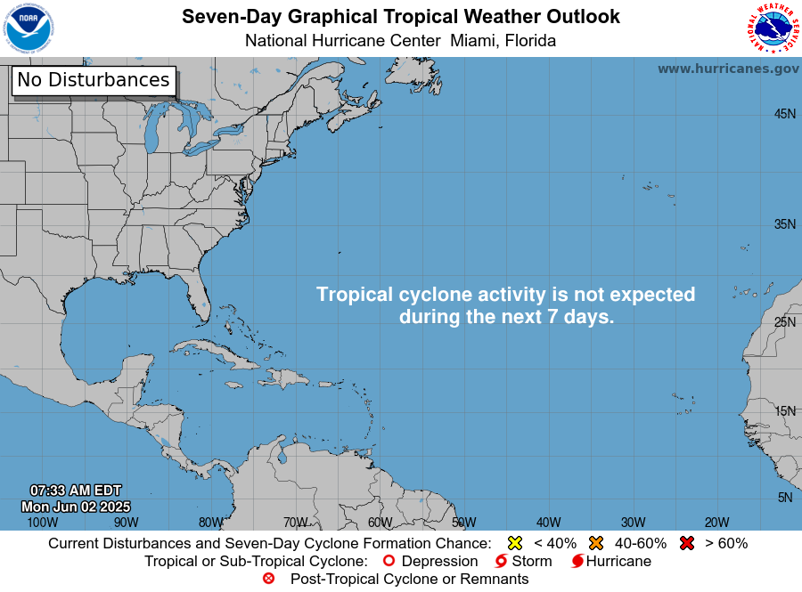
In brief: There is a very small chance that a weak tropical system could develop near the Florida or Georgia coasts over the next couple days. Any development would be on the lower end of the intensity scale, and the primary impact will be some heavy rainfall.
Un-Sunshine State
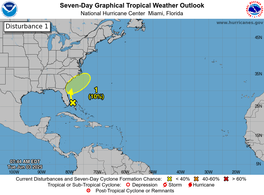
A weak disturbance is crawling up and just offshore of Florida’s east coast. The odds of this thing actually developing as it comes north are pretty low. Currently the NHC holds the odds around 10 percent. No real model solutions suggest that this will formally organize. Perhaps there’s a slightly higher chance of development as it turns the corner past the Carolinas and heads out into the open Atlantic. Whatever the case, in terms of a formal tropical entity forming, the chances are very low.
That being said, there will be impacts from this system as it comes north, and it will primarily come in the form of rainfall. South Florida took on a good dose of rainfall yesterday.
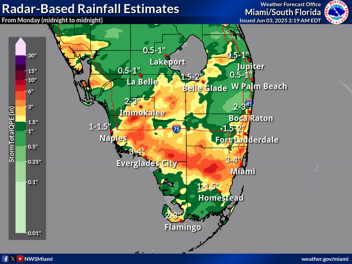
A flood watch is in effect for Fort Lauderdale, Miami, the Everglades, and Naples today. While official rainfall forecasts are on the order of another 2 to 4 inches of rain, some model guidance does hint at maximum totals in isolated areas hitting upwards of 6 inches or even a bit more. That would be most likely to occur south of Alligator Alley, which is to say in a less populous part of South Florida. Additional rains are likely tomorrow.
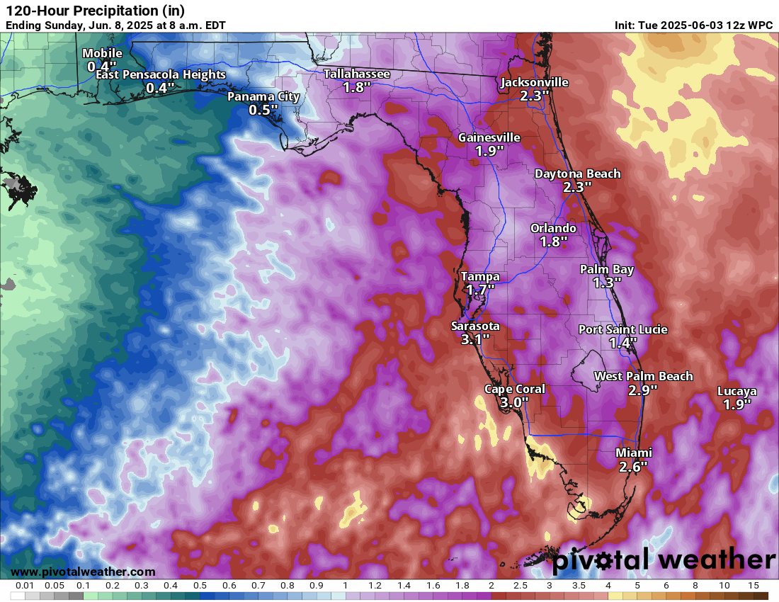
The actual disturbance we’re tracking will be up near Jacksonville by tomorrow evening. As it comes northward, it will spread some locally heavy rain up the coast. You can see from the map above how anywhere from 1 to 3 inches of rain is plausible across central and northern Florida. Some sort of weak low will probably come ashore between Savannah and Charleston tomorrow night, bringing more locally heavy rain up the coast there as well. Since this is likely to just sort of track along the coast and move inland from there, the heaviest rains will remain offshore, but anywhere from 1 to 3 inches is possible along the coast from Jacksonville through Myrtle Beach.
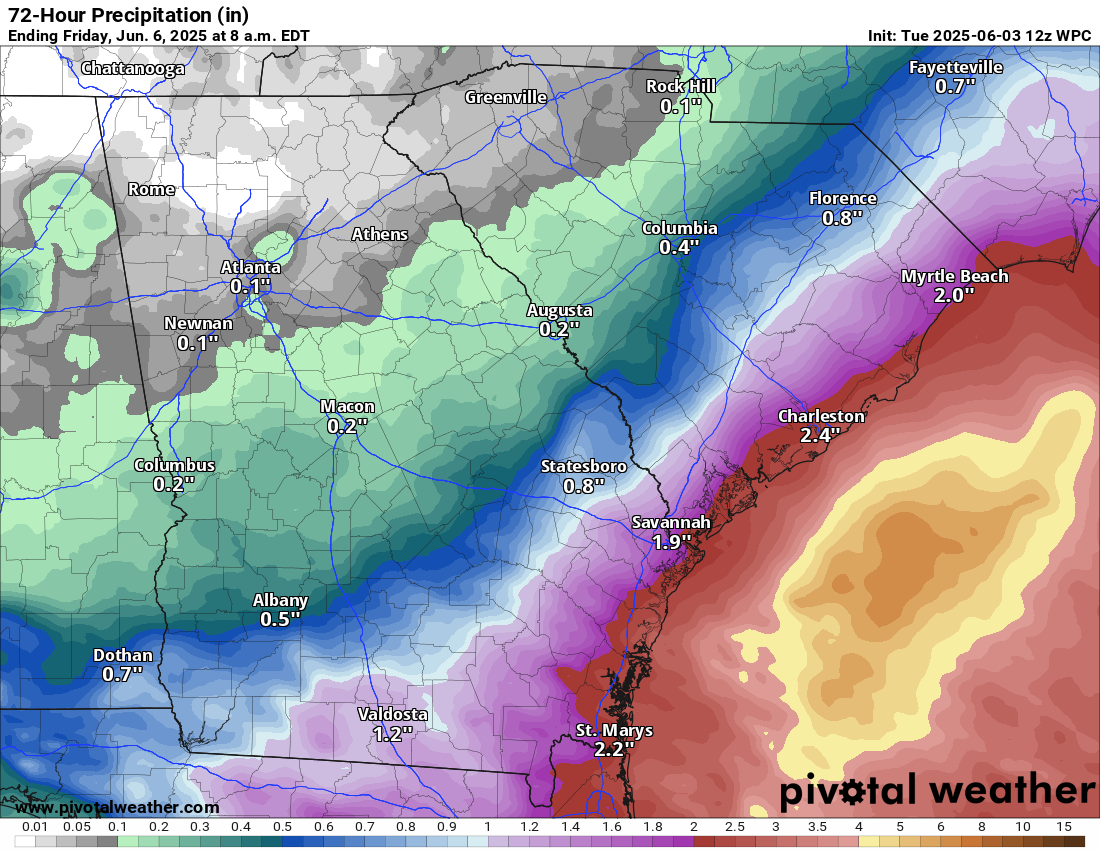
From there, the disturbance will turn right and exit the Carolinas out to sea where it will make another attempt at low-end development.
Bottom line? Whether this is unnamed or gets tagged as something formal, the impacts will be the same with locally heavy rain and flash flooding possible on the coast of South Carolina, Georgia, and North Florida, as well as across South Florida.
Elsewhere
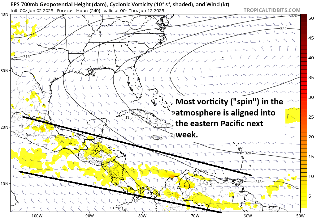
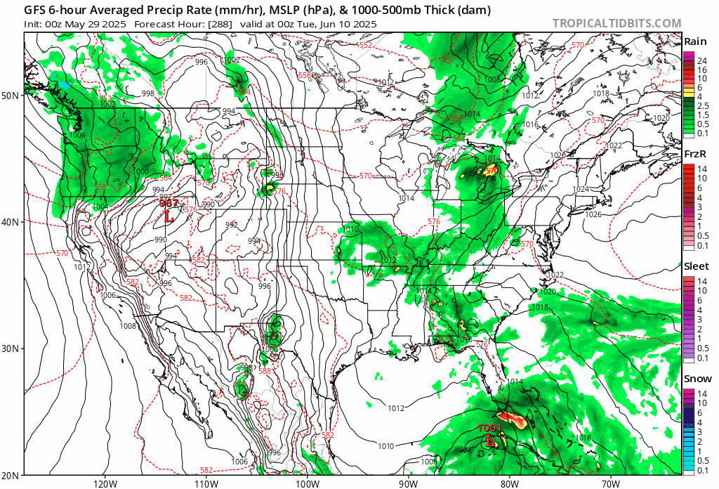
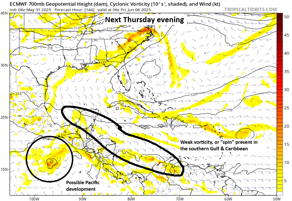
Meanwhile, the GFS model has Mariah Carey’s “Fantasy” on repeat. It continues to show a fantasy (read: phantom) storm in the 10-to-15-day portion of the model. It remains alone, as it often is this time of year. No other model support exists. So we will continue to disregard it as fantasy. Broadly, conditions become a tinge more favorable next week in the Caribbean or southern Gulf, but we don’t see any specific systems of note at this time.