In brief: Invest 97L should become a tropical depression soon. While there is still plenty of uncertainty in the future, odds still currently favor a system heading out to sea ultimately. We explain more below. The rest of the tropics are ho hum for now. Strong heat in the West will gradually migrate back eastward this week, and we have details on that too.
Invest 97L on the cusp of developing
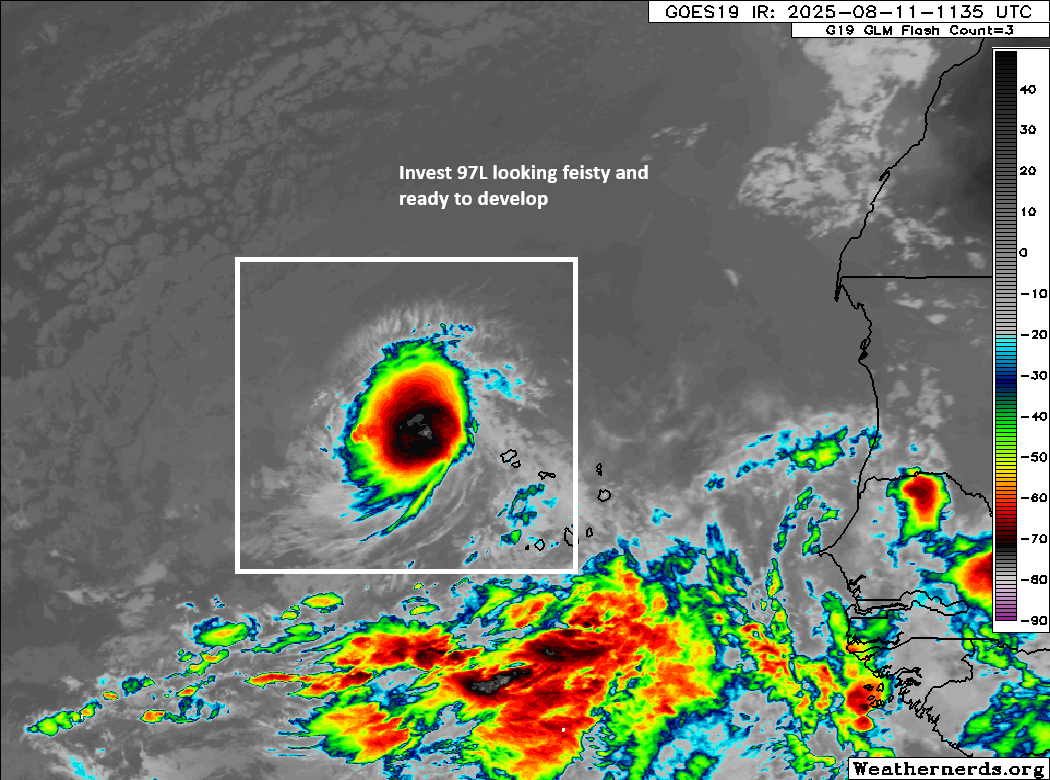
Our tropical disturbance in the eastern Atlantic is looking relatively healthy this morning, and it’s sitting just north of 15°N latitude. Development odds are up to 90 percent, and it’s entirely possible that we have a tropical depression here before this evening.
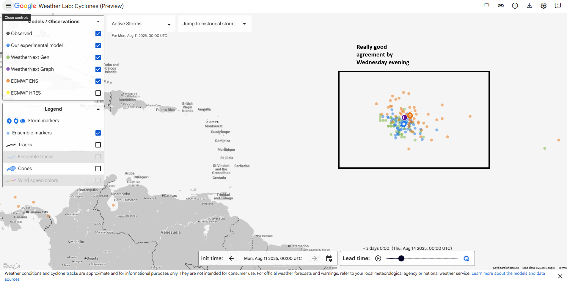
In a bit of an odd twist, weather modeling is actually in really, really good agreement on the general track of Invest 97L over the next 48 to 72 hours. Often in these nascent systems, there is uncertainty around exact location and placement and to some extent track. But in this case, the modeling all seems to be sniffing from the same bowl of food. In fact, you can see that European ensemble and experimental/operational AI ensemble members are all mostly packed together by Wednesday evening east of the islands.
From there, the system will continue to track west or west-northwest across the basin arriving probably just northeast of the Leeward and Virgin Islands by late Friday or Saturday. A couple things have sort of changed since yesterday when looking at the upper-level weather pattern around whatever 97L is by Saturday or Sunday.
First, the weakness between high pressure over the Gulf and high pressure over Africa seems to have strengthened a little. This should allow 97L, likely a named storm by the weekend to gain more latitude just northeast of the islands. Historically, most storms end up tracking out to sea from there, perhaps threatening Bermuda on the way. And in this case, that’s still probably the likeliest outcome. However, there is still enough uncertainty around exactly how features orient and what intensity the storm itself has at that point that does keep the Bahamas, East Coast, and Atlantic Canada still in play here.
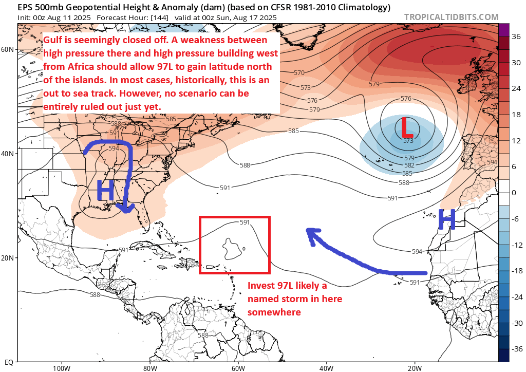
But, I will say that at this time at least, the vast majority of ensemble model guidance from both AI and traditional modeling is sweeping this thing out to sea. As always, we will continue to watch and keep you posted on any changes, updates, etc.
Behind Invest 97L
There’s not a whole heck of a lot doing with any specificity right now behind 97L. There is another wave trailing it that may have some chance to develop a little farther south than 97L, but at this time, the AI modeling is most excited by this rather than the traditional ensembles. Some of the newer AI ensemble modeling has proven to be quite overzealous with tropical genesis this season, meaning anytime there’s a remote chance of development, they jump on it too quickly. For now, we’ll see if that next wave does anything, but there are no other urgent or specific concerns we’ve got heading through early next week at this time.
West Coast sizzle will migrate east this week
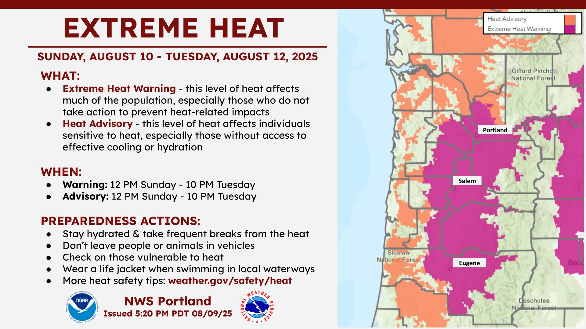
Ongoing heat in the Western U.S. continues. Portland had their hottest day since last summer yesterday, topping out at 99°, and today should be even a bit hotter.
To the south, Las Vegas hit 110° yesterday, their 3rd hottest of this summer. They’ll come close to their hottest of summer today and tomorrow as well, with highs of 109-111° expected, near records for this time of year. Expect strong heat relative to normal today in Michigan and northern Maine as well. Heading through the week, the focus of heat will gradually shift back toward Florida and the Southeast.
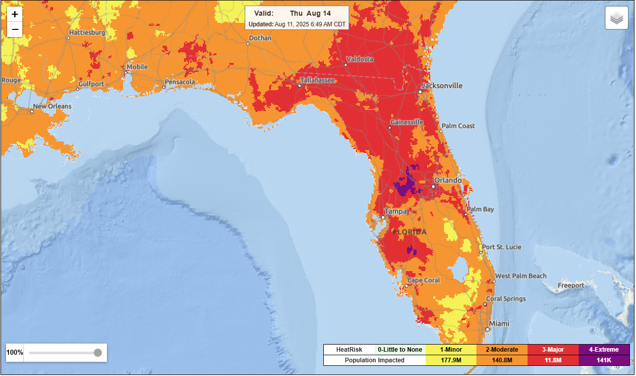
Remember the high pressure system that sort of closes off the Gulf from Invest 97L? Well, it should keep the Gulf out of play from a tropical system, but it’ll definitely make you sweat!