One-sentence summary
Cindy’s remnants will continue to at least have a fighting chance to redevelop into a system east of Bermuda, and it may bring some rain to Atlantic Canada, but other than that, things look quiet.
Happening now: Cindy’s remnants still have a long way to go
The remnants of Tropical Storm Cindy are swirling out over the open Atlantic this morning.
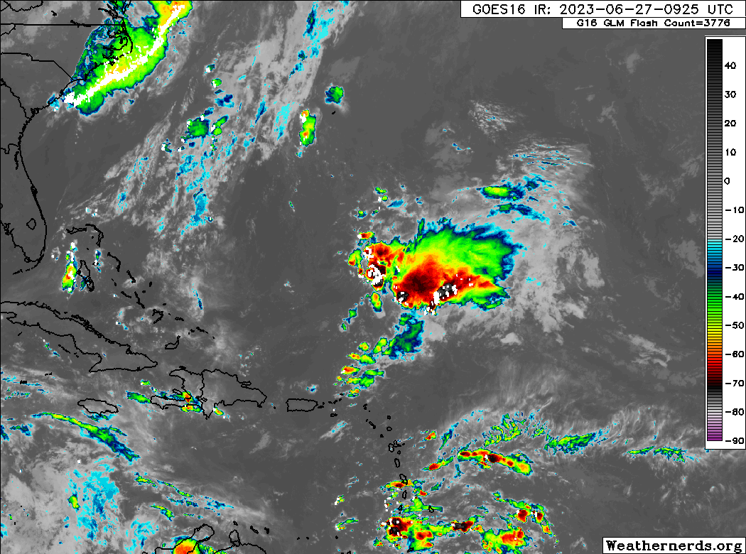
There’s not a lot of organization to this, even though there is plenty of thunderstorm activity. Cindy’s remnants remain under about 30 to 50 knots of wind shear, which really needs to settle back for Cindy to have much chance at regenerating. That may be exactly what happens by tomorrow. There is no guarantee that Cindy will redevelop even if these winds relax, but there’s at least a chance. A fairly notable split exists in the modeling with the European model bringing the potential regenerating Cindy near Bermuda and then direct into Nova Scotia by the weekend. The GFS (American) model takes a more circuitous and much slower route there. In either case, any impacts to Bermuda or Atlantic Canada look relatively modest at worst, with some showers and a breeze. So, a good forecast for folks there to monitor for plans, but probably nothing to get too worked up about.
Aside from Cindy’s remnants, the only thing to watch may be dust, which should arrive in the Caribbean late this week.
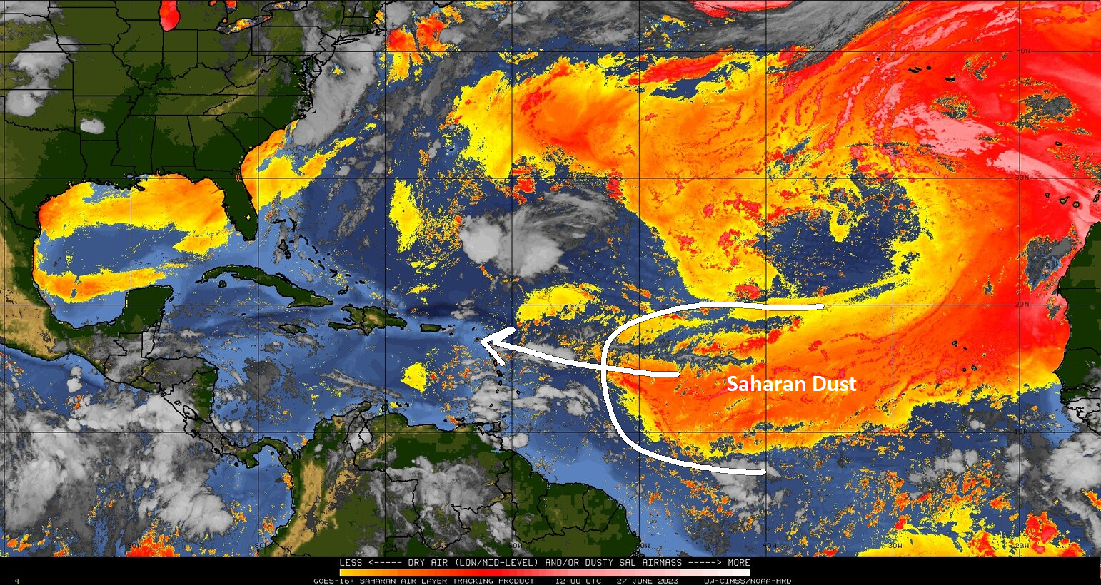
This will likely tinge the skies over the Lesser Antilles, Puerto Rico, and eventually Hispaniola and Cuba into the weekend with dust. This may impact far South Florida or the Gulf Coast as well next week to a lesser extent.
The medium-range (days 6-10): Some showers but probably nothing more
Both our operational models (single-run, deterministic modeling) and our ensemble models (models run multiple times with slight tweaks each time to generate more possible realistic outcomes) are fairly quiet in the medium-range. They do show some showers or maybe a tropical wave moving into the Caribbean next week, but nothing that is expected to develop.
Fantasyland (beyond day 10): Quiet it seems
As of today, I don’t see anything out in the modeling beyond day 10 that concerns me. Certainly, there is no ensemble support for anything of note. Maybe we’re settling into a more typical July for now.