A quick thank you to the new followers we’ve gained over the last couple weeks, especially in New England and Atlantic Canada! We hope you’ll stick around going forward as we continue to cover the Atlantic and eventually branch out into other significant and extreme weather later this autumn and winter. Spread the word!
One-sentence summary
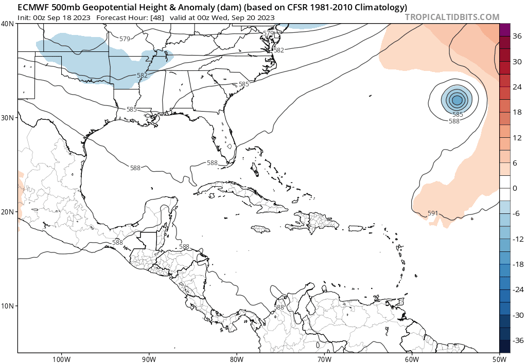
Nigel is expected to swirl out to sea through the week, while we watch the next wave off Africa as perhaps making it a little farther west, as well as a potential lower-end system off the Southeast this weekend.
Near-term: Margot & Nigel
We’ll use this week to sort of recharge after 3 weeks of Lee, which was preceded by Idalia. This patterns can really take a lot out of you, and it’s important to pace yourself during hurricane season as a resident, forecaster, or decision-maker. At present, we’ve got one system out there and a second or even third that we’ll see toward the weekend.

Nigel is not a big deal in terms of impacts. It will likely become a major hurricane as it lifts north and eventually northeast. While Nigel will likely turn out to sea before affecting any land, it will probably (again) kick up surf for Bermuda. Nigel seems to fit the theme of the 2023 Atlantic hurricane season.

Meanwhile, Margot got the downgrade yesterday, losing tropical characteristics. It will meander in the eastern Atlantic for a few more days.
The medium range (days 6 to 10): Ophelia (?) in the Atlantic and watching the Southeast
The National Hurricane Center has tagged the next disturbance to move off Africa with about a 70 percent chance of development over the next 7 days. There’s a slight chance this could develop at the end of the near-term, but for our purposes, we’ll focus on this for the medium-range.

Anyway, this wave seems to have a decent shot at perhaps becoming a depression by about Thursday or Friday. This one has a little more uncertainty behind it in terms of track. If this thing can come out of the gate roaring and quickly develop, it will almost certainly follow Nigel or Lee or something in between and curve north quickly, avoiding the Caribbean islands again. If this disturbance struggles late this week and weekend and fails to organize, it will likely come west, with at least some chance of getting to the islands. It’s a little early to say much more about it than that, but it’s at least worth checking in on again Wednesday or Thursday to see what has happened. Really, the only thing we’ll be keeping an eye on the next couple days will be odds it develops quickly, which right now *seem* high, but you never can be too sure.
The other system to watch may or may not be a thing, but the NHC is giving it a slight chance to happen by the weekend. An upper level dip in the jet stream over the Southeast and Florida may allow a surface low to develop off the Florida coast by Friday or Saturday. If that happens, it will have a slight chance to develop into a tropical or (more likely) subtropical entity.
In all likelihood, it would probably track north, slowly, toward the Carolinas, and I would imagine that the intensity ceiling on this one would be fairly low. In other words, we’ll probably see slow, lower-end development, not rapid, high-end development. So, something to watch, but probably not something to fret much about. As of now, the vast majority of the rain associated with the upper low or potential system would be focused offshore. But any tropical system could kick the surf up again in this area, and we could see issues with beach erosion and such. We’ll keep you posted.
Fantasyland (beyond day 10): No specific concerns
I don’t necessarily have an opinion today on the long range portion of the forecast. I don’t see anything scary on any modeling, but I’m not actually convinced it will be quiet. So this is a true “punt” on the forecast right now. But the key point is nothing specific stands out right now. We’ll keep you posted.
If this week’s African wave stays weak and enters the Gulf of Mexico, will the Gulf environment be favorable for strengthening?
Highly unlikely. Wind shear looks strong at this point in the Gulf for as far out as we can see. Not to say it couldn’t happen, but I am not especially concerned right now.
Thanks for the very HARD work guys.
😻
Paula on Cape Cod
Thank you!
I live in Port Charlotte, FL, and was recommended to you by a friend in Houston. I’ve since recommended you to some people around here. We have a lot of “forecasters “ here who like to play on the “drama” of the forecast…and it does no one any good to add that to the forecast. I appreciate your direct, and concise (with no drama added) forecasts. Thanks for that! Keep up the good work! Regards, Jerry
Thank you!
I know Hurricane season runs through November. When do the odds of the Houston area experiencing a hurricane greatly diminish?
Final days of September and early October there is a dramatic drop in historical big storms in the western Gulf. Risk drops to near zero around mid to late Oct.
I’d like a smallish depression to enter the Gulf and come over this way to drop a few feet on us, any chance you could arrange that? Otherwise we are going to end the year with a sever deficit.
It is a delight to trust your frank reporting, enjoy your style of writing and appreciate your lack of drama.
Thank you!