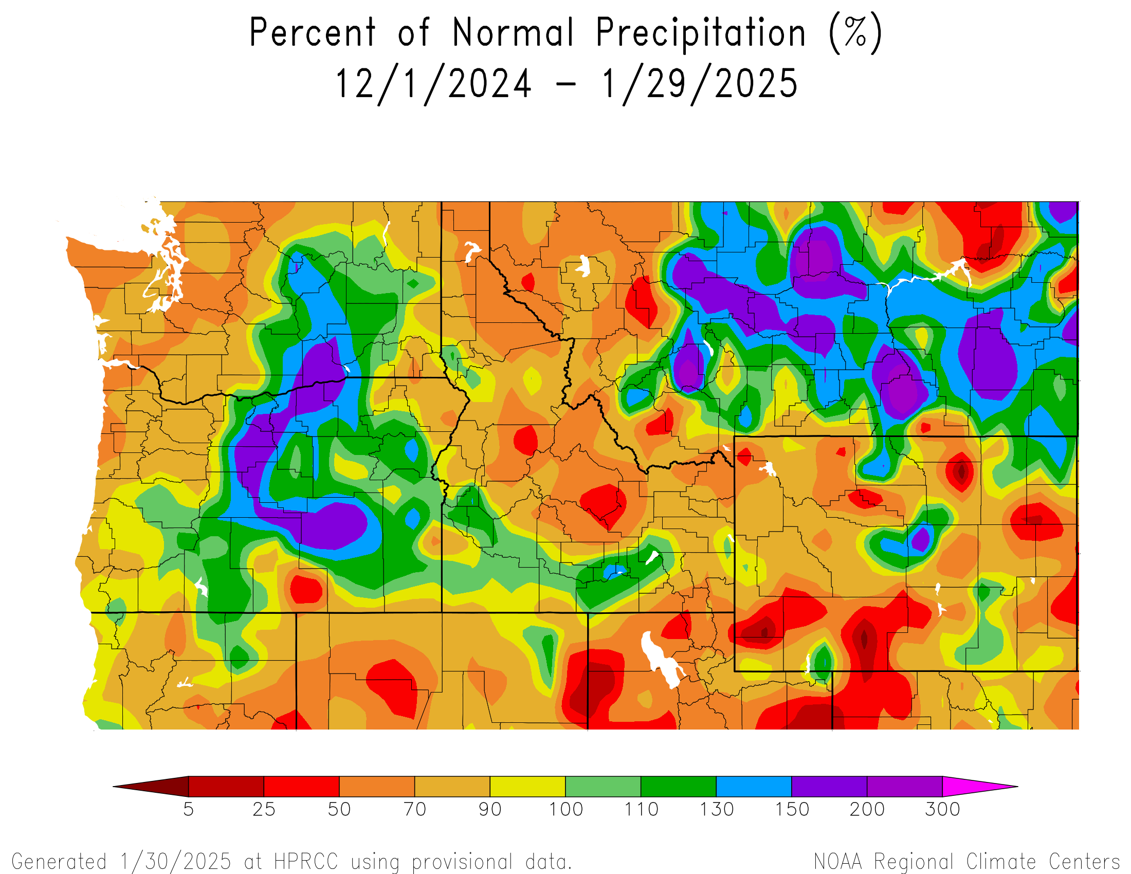
One look at the day 3 through 7 hazards map issued by the Weather Prediction Center may cause some consternation, as it’s busier than a 4 year old’s crayon box.

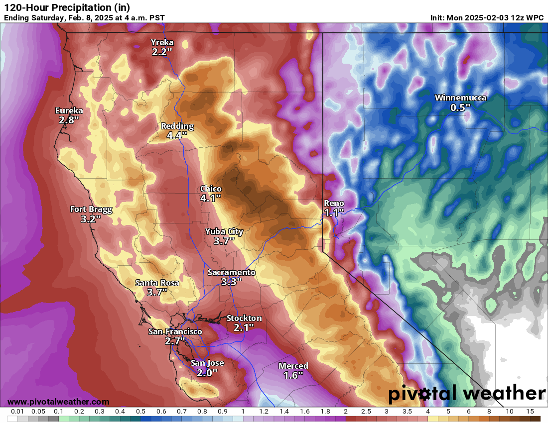
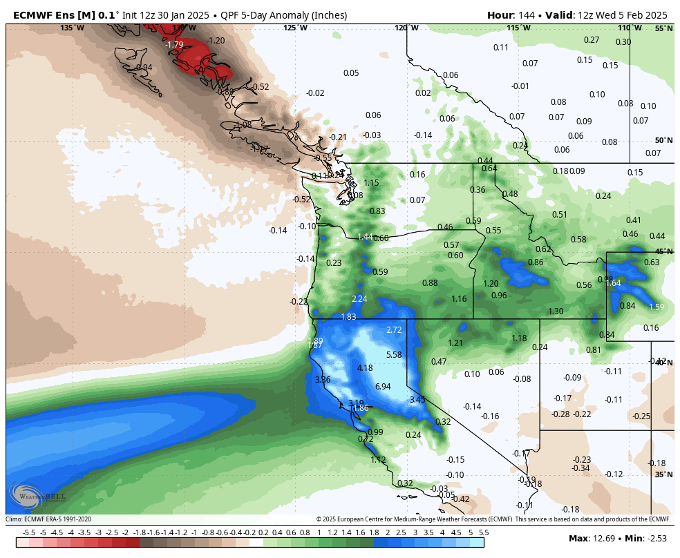
We’ve got some heavy rain and mountain snow back in California, wind in the Rockies, cold in the North, heavy rain in the Ohio and Mississippi Valleys, ice potential in Appalachia and parts of the Great Lakes, and then heavy snow risk in the Northeast and Midwest. And Alaska too.
I want to focus on the storm potential this weekend from the Midwest through Northeast. In a nutshell, an upper-level disturbance is going to swing through the Upper Midwest and into the Northeast, with plausible interactions with other disturbances along the way that will likely produce a widespread snow for many areas, as well as the potential for a wintry mix to the south, across Ohio and Pennsylvania.
As highlighted above, there is potential for heavy snow on Saturday from South Dakota into the Twin Cities in Minnesota across Wisconsin into the northern half of Lower Michigan. Is this a slam dunk? Not yet. If we look at precipitation forecasts from the various models, there are some disparities in where the highest precip totals are drawn. So for anyone in this region, there is some fail mode to this forecast.
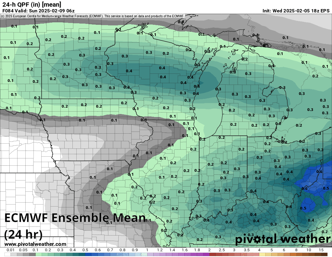
Modeling, with the notable exception of the ICON model (and GFS to a lesser extent) seems to agree on a general precipitation maximum between the Twin Cities and along I-94 in Wisconsin. It extends across Lake Michigan into Lower Michigan, primarily north of Grand Rapids. Within this band of precipitation, models suggest anywhere from about 0.30″ to 0.60″ of liquid equivalent. That would constitute at least 5 to 9 inches of snow, using about a 15 to 1 ratio of snow to liquid. Expect a somewhat narrow but significant band of accumulation somewhere probably from northern South Dakota into Minneapolis-St. Paul into central Wisconsin. Another bullseye is likely across Lower Michigan, again north of Grand Rapids and probably east to the Thumb, including Sagniaw.
Once the storm clears the Midwest, its next phase will be in the Northeast. Don’t focus on the specifics below but rather the location of the maximum positive snow depth change according to the GFS model.
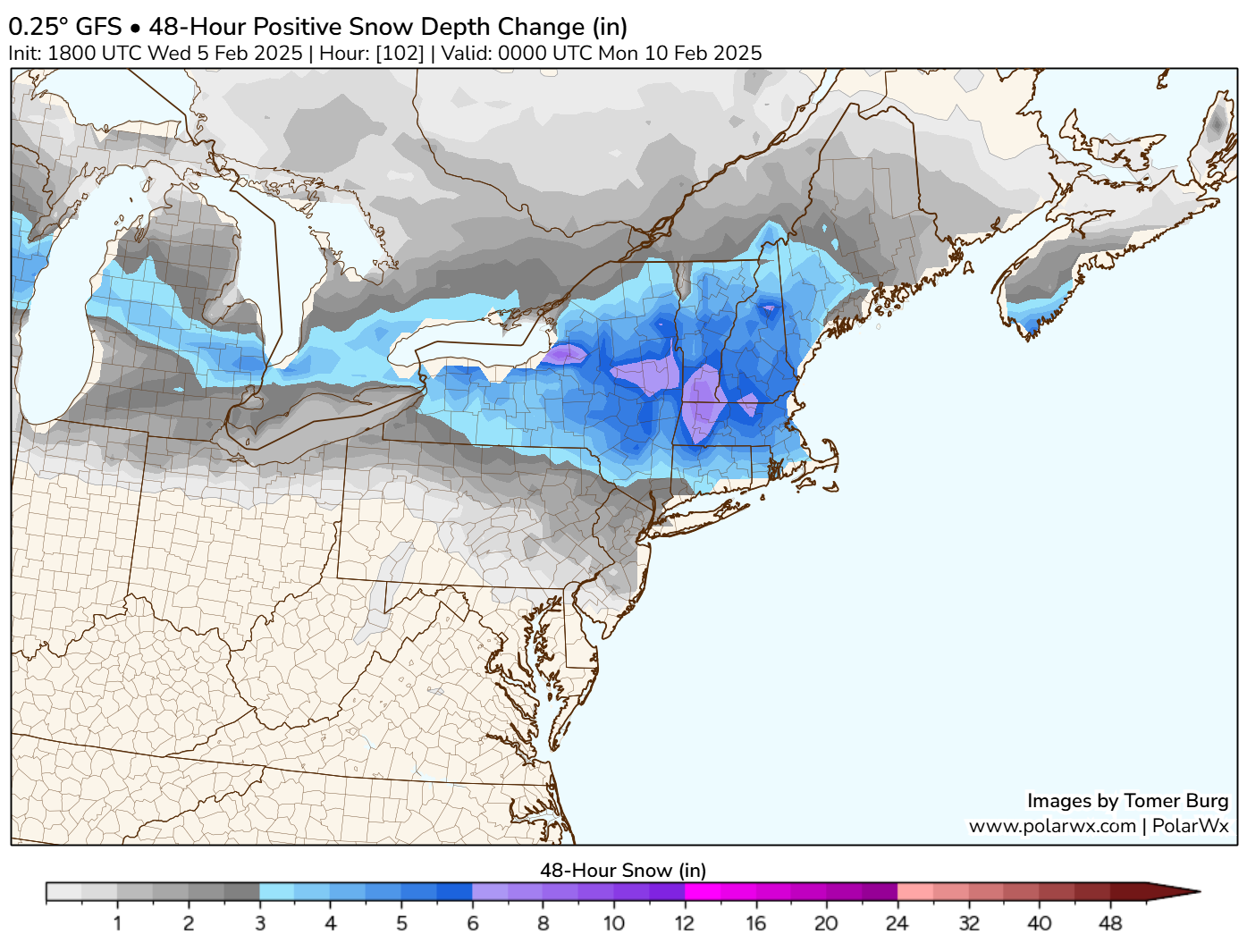
The bullseye, at least according to this model would occur in the southern Adirondacks, southern Greens, Berkshires, and portions of New Hampshire. At this point, it’s too early to overspeculate on amounts but suffice to say a “plowable” snow is a plausible outcome there, after the current week’s lighter snow and light ice.
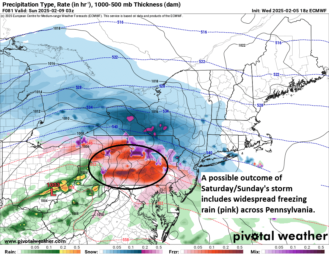
Speaking of ice, this next storm will also come with some of that too. Sunday’s forecast from the European model does indeed show widespread freezing rain across much of Pennsylvania. While it’s too soon to get extra specific in terms of ice accumulation, another round of 0.10 to 0.25 inches of ice accumulation is possible this weekend.
The real takeaway from all this is if you have travel plans anywhere along the I-90, I-80, or I-94 corridors this weekend, you would be wise to plan ahead and be prepared for hazardous winter weather.
Another storm is possible next week, with perhaps more to follow. As we noted earlier this week, it looks like an active period is setting up across parts of the country.
A final word
Today is National Weatherpersons Day! I would be remiss if I didn’t give a special thank you to our friends and colleagues that work across the industry to serve their communities and keep people safe and informed. From broadcasters to private sector meteorologists to researchers to government meteorologists, we all work together to achieve a similar end goal: Minimize risk to lives and property.
In particular, I want to note our friends at the National Weather Service across the country. There is a lot going on right now, and whether you agree or disagree with it, you know what those NWS employees are still doing right now? Creating forecasts and issuing warnings and alerts to keep their communities safe. Whatever distractions they have to manage right now, they still show up to serve us all. I have come to know many NWSers, and they put up with a lot on a good day, including a grueling schedule that requires virtually all of them to work overnights every few weeks. They sacrifice time from their families and their lives to serve the communities in which they live. And they are some of the most servant-minded individuals I have ever come to know. They care, they work hard, and they provide a public service that is virtually unmatched in terms of return on taxpayer investment, saving our country and economy billions annually and saving countless lives in the process. To them, we are grateful and simply put cannot expect to do our jobs effectively without the work they do. Thank you to all meteorologists, but especially those at the NWS, especially now. I hope everyone else realizes this when they hear various news nuggets about NOAA and NWS in the days and weeks ahead.