Dolly’s remnants, Invest 97L provide low end development potential and some rain chances

In brief: Invest 97L may end up being a beneficial rainmaker for parts of Louisiana and Texas over the next couple days, as it tries to develop before moving ashore on Tuesday near the Texas/Louisiana border. Meanwhile, Dolly’s chance at a second act seems minimal at this point, but it’s worth watching the pattern in the eastern Gulf in a little over a week.

Invest 97L to bring some rain to Texas and Louisiana

We’ll start closer to home today, with an area of possible development that felt like it sort of crept up out of nowhere after Friday morning. We have a disturbance now, Invest 97L, with about a 50 percent chance to develop over the next couple days.

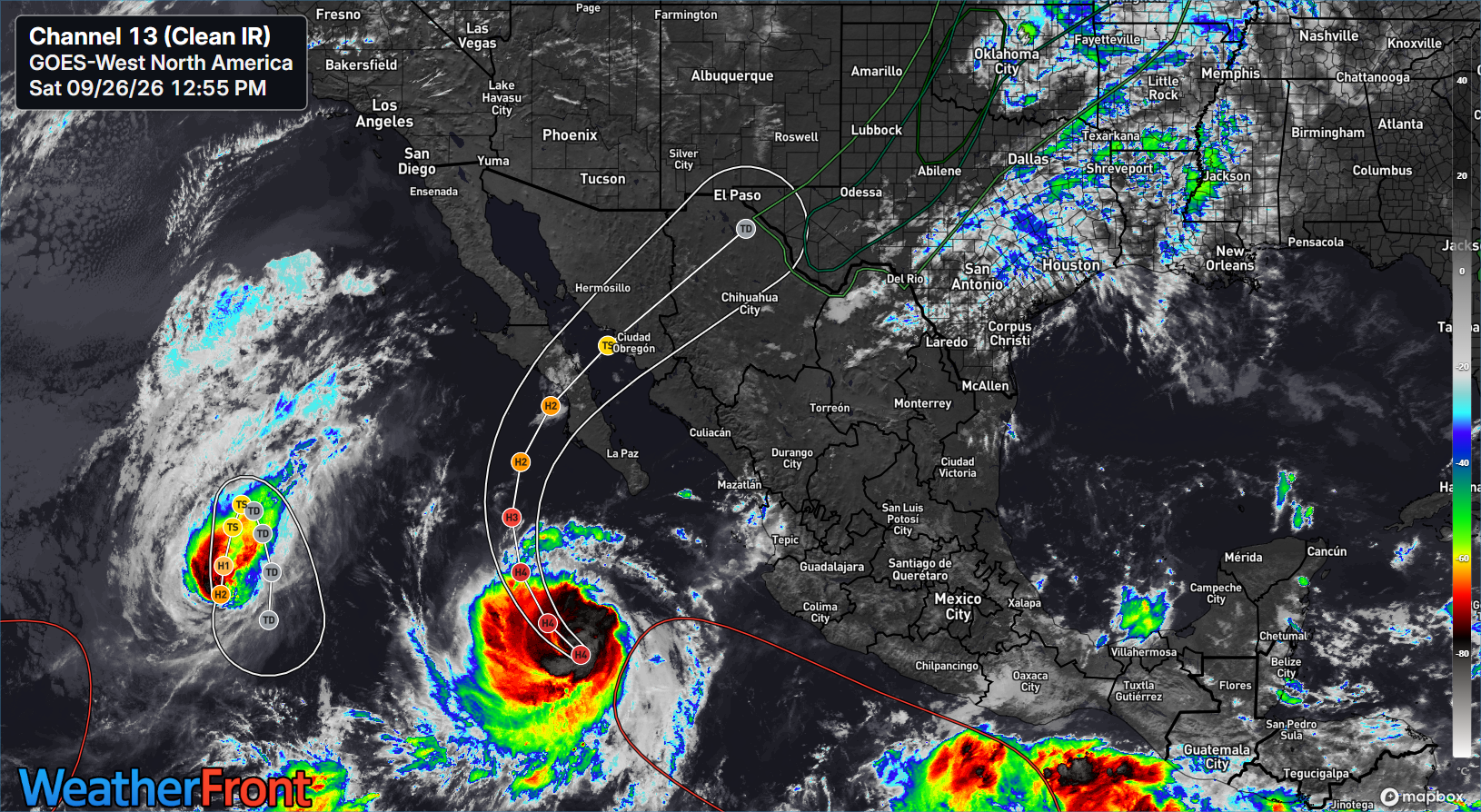
Invest 97L swirls close to the southeast Louisiana coast on Sunday afternoon. (WeatherFront)

Overall, the system has a pretty good deal of thunderstorm activity with it, not terribly dissimilar to what we saw with Bertha a few weeks ago. Whatever the case, there have been worse looking systems this summer. The models are not especially bullish on further development of 97L. Google’s Deep Mind 1,000 member ensemble has about an 8 percent chance of development, while the operational model doesn’t develop it all. And indeed, while wind shear isn’t terribly hostile where it currently sits, it should pick up a little bit over the next day or so. Not a lot, but perhaps enough to stave off a depression? We’ll see.

Google’s 1,000 member ensemble is lukewarm on development, but it does track it toward the upper Texas coast over the next 2 to 3 days. (tcatlas.org)

Either way, expect 97L to track generally west to northwest over the next couple days, bringing it ashore somewhere near Port Arthur or Sabine Pass by Tuesday. At this point, I would not expect much more than an open wave or a depression. And in fact, any rain from 97L would be most likely welcome in a region that has seen drought begin to really accelerate in the last month or so. But, if 97L can wrap itself up a little faster, over quite warm waters, sure we could end up with a tropical storm. The next name on the list is Edouard.

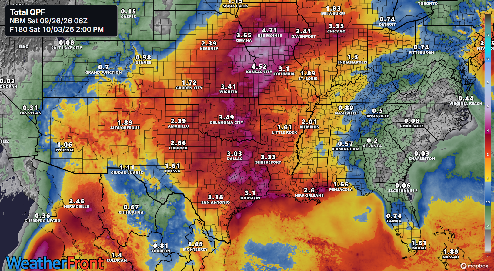
Once inland, 97L will probably get somewhat boxed in by high pressure to the east that’s going to try and build over top of it back to the west. I don’t think this will “trap” 97L over Texas, but it may act to slow it down a good bit. While this likely won’t lead to a major flooding issue, we could see some daily thunderstorms with heavy downpours possible. Modeling won’t do well capturing that right now, but I would not be shocked to see the rainfall totals shown below begin to inch upward a little over the next couple days between Dallas and Houston.

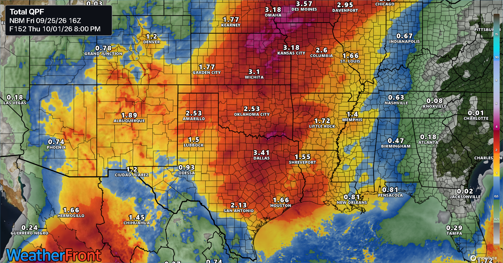
Forecast NBM blended precipitation forecast through Saturday morning. Totals may need to come up some in Texas. (WeatherFront)

Bottom line with 97L: Worth keeping an eye on for Gulf Coast residents, especially near Beaumont, Port Arthur, and Cameron Parish, LA. Keep an eye on the rainfall forecast farther inland across Texas in case things should change.

Dolly second act chances?

Let’s check on Dolly’s remnants this afternoon.

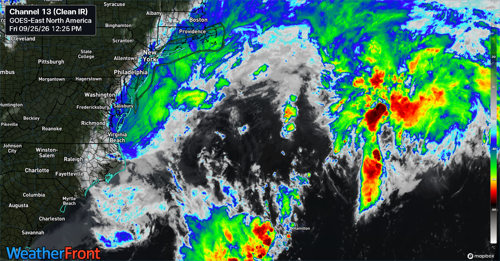
The leftovers of Tropical Storm Dolly are still producing storms, but they’re not exactly organized. (WeatherFront)

The good news is that rains are falling in the drought-stricken Caribbean. So that’s coming to pass. From here, Dolly’s road is bumpy but not necessarily enough to destroy it. By Thursday, whatever is left of Dolly should be near Cuba and the Bahamas. I would assume it does not look a whole lot different at that time.

From there we embark on a bit of a choose your own adventure with this one. Some models draw it into the Gulf with some further development before crossing Florida and hooking back out to sea. Others keep it subdued without much development. Right now, the camps seem split with the AI modeling very subdued on any future organization and the European model a little more aggressive. There are some other models trying to put something else in the eastern Gulf around the time that Dolly gets there it seems as well. Most modeling takes that across the Florida Peninsula and out to sea.

The more aggressive European ensemble forecast over the next 9 days. (Weathernerds.org)

So, this is just kind of sloppy right now, and there’s not much signal to draw out of this noise. What’s it mean? It means we should probably continue to keep track of both Dolly’s remnants and the potential for development in the eastern Gulf in about 8 to 10 days from now. But at this point, there’s no real reason to worry or get worked up.

Beyond that, the tropics are mostly subdued for the time being. But as is the case heading into the peak two to three weeks of the season now, you do want to keep track of each system, even the little ones.

Dolly says hello, Dolly soon says goodbye

In brief: Tropical Storm Dolly has a limited amount of time left before it likely dissipates, bringing just some remnant rain to the islands. Beyond that, it seems unlikely we’ll get an encore out of Dolly in the Gulf — but there’s at least some reason not to write it off completely.
Tropical Storm Dolly officially formed yesterday out of Invest 96L in the Atlantic, a well-timed storm name for the fourth system of the season. Much like the previous 3 this year, Dolly is not going to hold it together for very long.

The only thing Dolly really has going for it is an area of thunderstorms in its northern semicircle. (WeatherFront)

The storm currently sits well east of the Lesser Antilles. Over the next couple days, Dolly will rapidly move west northwest toward the islands, but simultaneously wind shear is going to increase, dry air is not going to improve things, and the forward motion will continue fast. The combination of these factors puts a very strong cap on Dolly’s potential intensity. In fact, in most cases, model guidance degenerates Dolly to an open wave

Google Deep Mind keeps Dolly a tropical storm for about 36 more hours before collapsing it on approach to the islands. (Google)

The Google Deep Mind operational model drops the percentage of ensemble members showing Dolly as a coherent system from 100% today to about 10% by Sunday evening.

So at this point, any impacts in the Caribbean should be limited to rain. And this is actually good news. Almost half of Puerto Rico is currently sitting in extreme drought.

Drought is hammering Puerto Rico and the Virgin Islands this summer (US Drought Monitor)

Thanks in part to the strong El Niño, much of the Caribbean is dealing with drought right now. So any rain is welcome. How much rain will we see in these areas? Hopefully a solid 1 to 2 inches falls from this. Usually in drought, the risk is that the forecast comes in lighter than expected.

European AIFS ensemble model forecast rainfall for the Caribbean through next Wednesday evening. (WeatherFront)

Either way, once in the Caribbean, it seems likely that any remnants of Dolly will be further hampered by shear and land interaction.

The question beyond midweek focuses heavily on what conditions Dolly’s remnants are in once near the Gulf or Florida. If Dolly has some lingering thunderstorms sticking with it, once near the Bahamas or Florida or Gulf, perhaps Dolly may have a chance to organize a little again. If Dolly is ripped up good, then it would be unlikely to do much of anything. Basically, while it seems highly unlikely any remnant of Dolly would do anything once near the Gulf, it’s one of those things you just never feel good totally writing off this time of year. So, let’s see how things trend through the weekend. And let’s hope some parts of the Caribbean can get some welcome rains.

Invest 96L is probably going to hold its own for a little while

In brief: Invest 96L is holding its own in the Atlantic, and in fact that’s probably all we’re going to get out of it for the next several days. About a week from now, the story could get a bit more interesting, so we explain why and the things to watch in the days ahead.

Invest 96L

With 95L out of the picture now, we can focus solely on the main wave, Invest 96L in the eastern Atlantic.

Invest 96L is maintaining thunderstorms but isn’t progressing quickly toward development. (WeatherFront)

The disturbance is not really progressing forward toward development but not exactly falling apart either. It’s just like one of us, working 9 to 5 and holding it together one day at a time. Both shear and dry air are at levels keeping it capped but also not exactly destroying it either. And realistically, this is probably where we’re going to be for a few days. Wind shear doesn’t look totally prohibitive, but it’s going to be present near the system for its entire trek across the Atlantic. Dry air doesn’t look totally prohibitive, but it’s going to be present near the system for its entire trek across the Atlantic.

Wind shear will likely cap the risk of development of 96L and certainly cap the potential for intensification. (Tropical Tidbits)

A 70 percent probability of development feels a bit generous at this point, but truthfully, you could probably make a case anywhere from 10 to 80 percent with this one right now and it would be logical. Despite the high odds of development, I think it’s important to note that at least over the next 4 to 5 days, intensification seems highly unlikely. Could you get a depression or weak tropical storm? Sure. Would it get any worse than that through the weekend? No.

Our next real meaningful waypoint with 96L will be in about a week. At that point, we would expect Invest 96L, whatever degree of organization it is in to be located somewhere between the northern Caribbean and just east of the Bahamas.

Next Monday sees Invest 96L somewhere between the northern Caribbean and southeast Bahamas (Tropical Tidbits)

It’s at that point that modeling gets a little funkier with things. The overarching pattern next week should feature a pretty broad area of high pressure in the upper atmosphere from the Desert Southwest into the Southeast and Mid-Atlantic. Well to the northeast of 96L at that time should be a trough in the North Atlantic. I would anticipate (at least looking right now at things) that both 96L and the trough will not be strong enough to link up and quickly usher the disturbance out to sea. So what may end up happening here is that 96L kind of sits off the Bahamas. From here it becomes a little more challenging to answer where it goes, but I would think that the overall pattern would support a bit of a turn north and eventually out to sea. It’s also an open question to wonder what sort of environment 96L will be in at that point.

The situation next Wednesday. (Tropical Tidbits)

I would assume that shear would be a good bit lower in the Southwest Atlantic at that time, but I’m not sure dry air or general weak instability that’s been hampering the basin won’t still be an issue.

So, that’s where we stand: Low risk of any meaningful development through about Monday or so. Then, the story gets a little more interesting but not nearly at a point where it’s concerning. If anything, model support over even the last 12 hours has dipped somewhat. Just something to watch. The good news is this is the only game in town right now, and there’s no sign of anything else meaningful in the pipeline at this point. More to come!

We shall spend our waning summer days watching Invest 96L try to navigate hurdles in the Atlantic

In brief: Invests 95L and 96L have our attention in the Atlantic, though 95 is no threat to anyone, and 96 probably isn’t a threat either. That said, we take a deeper look at 96L and its future over the next week or so.

Watching the Atlantic right now is like putting a towel back in the drier and discovering it’s still damp. It’s not boring like watching paint dry. It’s just kind of frustrating. Are we going to get there? I mean, no one will complain if we don’t. But at this point, every disturbance that makes a go of it over the Atlantic thinks they’re evil Anakin Skywalker. “I’m a big, bad tropical wave. You want to stop me?”

Of course, it didn’t exactly end well for Anakin, and it probably won’t end well for most of these disturbances. But the question is if they stir something up in the interim.

Invest 95L

The disturbance east of Bermuda looked like it wanted to have a go at times. But thus far it has fallen short.

Invest 95L is just a little too stretched out, and it seems like it will fall short of developing. (WeatherFront)

Will it do it today? I’m doubtful. It has about 12 to 18 hours left to do something before it runs out of runway. And at this point, it just looks too strung out to be able to consolidate enough.

Invest 96L

Newly minted Invest 96L is the one we’re most interested in at this point.

Invest 96L is struggling a bit this morning, but its longer term prospects are modestly more interesting. (WeatherFront)

Looking at it on satellite, it’s still just a seedling of a tropical wave this morning. And over the next couple days, it will gradually try to organize itself. It currently sits in a relatively modest shear environment, though there is a bit of drier air nearby. So by no means will this organize swiftly.

Google Deep Mind’s operational ensemble has no interest in Invest 96L. (Google)

Models have mostly held their positions since yesterday. It does seem like the European model’s AIFS is a little less enthused today. And Google’s Deep Mind operational ensemble is totally uninterested. The tropical models are a little bit more bulled up but even they’re quite mixed. On the whole, we’re basically in the same spot we were 24 hours ago, so I won’t belabor the point. Odds of development around 60 to 70 percent, though generous aren’t unreasonable. But we aren’t anywhere over that right now.

The AIFS ensemble is weak but also a little more engaged with the possibility of Invest 96L trying to organize over the next week. (Polarwx.com)

In terms of the future track of 96L, be it as a remnant tropical wave or as a nascent system, its future will initially be dictated by the Bermuda high, which will build west across the Atlantic as 96L moves west, keeping on a westerly or west-northwesterly course through at least Saturday or Sunday.

Over the next 5 days, the Bermuda high will expand west across the Atlantic, allowing 96L to stay in the MDR while it moves west or west-northwest. (Tropical Tidbits)

Where is the Bermuda high? Look at the big 597 bullseye over the open Atlantic. Thereafter, if 96L is weak, it may end up buried in the Caribbean, likely left to perish or track closer to the Antilles and Puerto Rico, where it still would face an uphill battle. If 96L is moderate, it would likely “feel” an expected weakening Bermuda high after Sunday (just after this model loop ends) and turn northwest and north fairly quickly, likely heading out into the open Atlantic. Neither scenario should get anyone too worked up right now, but we’ll keep an eye on things through the week and see how it all progresses. It’s late August. You never take anything for granted this time of year.

Beyond 96L

Anything else? Nothing specific at this time. There is model noise, as there always is this time of year, even in strong El Niño events. But I can’t really point to any specific disturbance beyond Invest 96L to home in on right now.

I suppose if you want to look for some intrigue, the Pacific is where you’d go. The NHC has seven disturbances on the board, be they active or in the outlook. The area with a 90% chance of development may be the most intriguing.

Google Deep Mind is pretty aggressive with the next possible Pacific system, though most members keep it out at sea, as do most other models. (Google)

While most modeling kicks it west across the Pacific, there is a small subset that does try to lift this northward in time. If that happens, we could see some remnant moisture end up in the Southwest. That would not necessarily be a bad thing, as the monsoon has been fairly disappointing in many areas so far this year. But I would not exactly get my hopes up yet in the desert.